Drone Services for Construction Projects
Use drone data to prevent common construction mistakes in activities like site balancing, concrete layout, quantity tracking, fulfillment verification, and schedule tracking
Smarter Energy Package
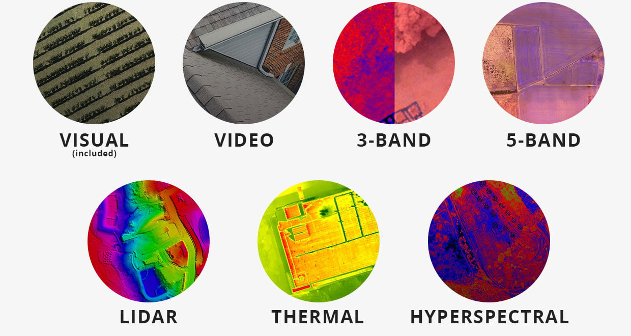
Add-on Sensors
Swappable plug and play technology
Software & Analytics


Accessories & Training
CONTACT US TO GET STARTED
Applications & Analytics
Get reporting and insights from your drone data
Efficiently manage assets and infrastructure. Precisionhawk's software makes it easy to convert aerial data into models and business intelligence.
PIPELINE MONITORING
Reduce inspection time and operational costs by flying beyond visual line-of-sight
WIND TURBINE INSPECTION
Reduce inspection time and risk to workers by minimizing the frequency of climbs
RIGHT OF WAY ANALYSIS
Monitor your infrastructure for vegetation and other encroachments
SUBSEA MAPPING
Process subsea survey data and integrate with aerial intelligence
ENVIRONMENTAL MITIGATION
Plan remediation and track progress using topographic surveys and plant health indices
VEGETATION MANAGEMENT
Manage vegetation using topographic surveys and plant health indices
POWERLINE SAG ANALYSIS
Assess vegetation points and encroachment based on proximity to conductors
TOWER INSPECTIONS
Reduce inspection time and risk to workers by minimizing the frequency of climbs required for visual structural assessment
MINE REMEDIATION
Eliminate the risks associated with manned inspection and increase the accuracy of progress reporting
FOREST REGENERATION
Monitor and measure the progress of an ecosystem through vegetative growth stages
SOLAR FAULT DETECTION
Maintain plant efficiency by identifying issues such as hot spots, dead spots, and debris
