Sensors

Capture specialized data that can be analyzed for business

Get a Quote

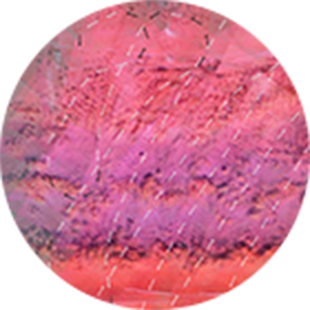
1-orthomosaic
ORTHOMOSAIC
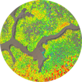
2-3d-model
3D MODEL
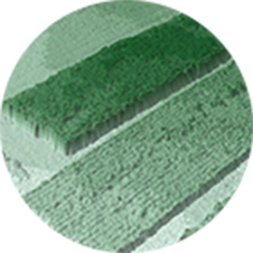
3-point-cloud
POINT CLOUD
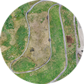
4-digital-surface
DIGITAL SURFACE

The data collected by sensors generates orthomosaics, 3D models, point clouds and digital surface models. When used alongside survey grade GPS systems - sensor images can be stitched together producing one accurate geo-referenced image that is viewable in both 2D and 3D.

sensor-sketches
The industry applications for drone-based sensors are limitless. Sensors can identify plant disease, assess water quality, secure volume measurements, detect heat signatures and produce surface composition surveys, and more. Sensors easily connect with compatible drones and can be swapped out to support a diverse set of enterprise needs.
VISUAL
Capture high-resolution, low distortion aerial imagery
VIDEO
Capture and live stream high definition video to multiple devices on the ground
THERMAL
Track the relative surface temperature of land and objects
MULTISPECTRAL
Capture near-infrared radiation and ultraviolet light invisible to the human eye
HYPERSPECTRAL
Capture spectral information to identify minerals, vegetation and other materials
LiDAR
Collect high quality, accurate elevation data of natural and man-made objects
CONTACT US, LET’S TALK SENSORS

Learn How Precisionhawk’s Platform Works in Your Industry

Subscribe to our newsletter: