UTILITY ASSET MANAGEMENT

Get better data faster and safer than traditional methods—Electrical utilities are improving safety margins, lowering costs, and expediting their modernization programs with geospatial technology.

How Utilities Are Using the PrecisionHawk Solution to Take Timely and Effective Action


DISTRIBUTIONicon-distribution

Electrical utilities’ operators use high-precision remote sensing technology to collect and deliver raw photos and videos of their assets. The PrecisionAnalytics AI engine then organizes, georectifies, and annotates imagery to help utilities improve their inspections, reduce regulatory risk, decrease the impact of vegetation encroachment, and accelerate their modernization and pole-hardening programs.

PRECISIONANALYTICS ENERGY
CA-95
GIS INVENTORY
POLE-HARDENING
VEGETATION ENCROACHMENT
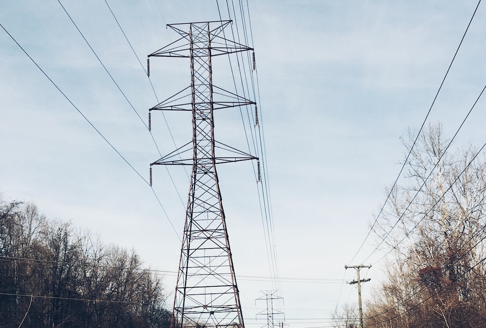
ut-distribution-2
ut-transmission-816-1

TRANSMISSIONicon-transmission

Harsh environments can cause a transmission tower to fail in as little as 15 years, and neglecting to repair structures in a timely manner can cost utilities anywhere from $14 million to $153 million overall. PrecisionHawk gives utilities a fast, cost-effective way to capture, analyze, report, share, and take action on high-quality data on asset health.

CVIs

FACILITIES icons8-substation-80

Substations consist of a lot of sensitive equipment packed into a small space, making safety a key consideration. The PrecisionHawk inspection solution uses drones equipped with failsafe features that can fly low and slow to capture rich RGB and LiDAR data from a variety of angles. Utilities can then track changes to the equipment over time and make timely plans for repairs and renovations.

FACILITIES
SUBSTATIONS


substations-side1

PrecisionAnalytics Energy Helps Utilities Make Better Business Decisions

pae-imac-examine

Decision makers can use PrecisionHawk’s utilities solution—featuring the PrecisionAnalytics aerial mapping, modeling, and inspection platform—to:

  • Manage transmission, distribution, and substation assets over the complete lifecycle.

  • Identify potential issues and exactly where they are on your property.
  • Detect small problems in tower and line components before they turn into big problems.
  • Conduct a thorough inventory of assets to inform modernization initiatives or compliance efforts.

  • Use data collected over time for long-term asset management.
  • Get an uncompromised view of your assets with powerful maps, models, and measurements.
  • Deliver insights across your organization with flexible reporting and integration.

Why PrecisionHawk?


Experience and Expertise
We specialize in serving major enterprises, counting among our clientele top 50 utilities, Fortune 100s, and federal and state agencies.


Machine Intelligence
PrecisionAnalytics Utilities runs on the newest artificial intelligence platforms, trained using terabytes of data from thousands of drone missions.

Safety and Operational Excellence
Our flight operations are founded on Naval aviation principles, earning an A-rating from ISNet.


Cutting-edge Geospatial Science
Our industry-leading team of PhD-holding and remote sensing-accredited geospatial scientists ensure the quality and accuracy of our systems.


The World’s Largest Commercial Drone Pilot Network
More than 15,000 licensed operators are available to fly any site in the United States within 24 to 72 hours.

Regulatory Leadership
We’ve partnered with NASA and the FAA to help define practices in BVLOS operations and universal traffic management, among other regulatory areas.


Hardware Expertise
Career pilots, engineers, and surveyors maintain PrecisionHawk’s portfolio of cutting-edge drones, sensors, and ground-based equipment.

Subscribe to our newsletter: