04.3.2020
The following is an excerpt from our solution brief, Crop Insurance Claims Cycle Management, which explores how a drone-based platform can provide new levels of accuracy and efficiency in the crop insurance claims cycle. Download the solution brief to learn more.

Crop insurance coverage has grown significantly in the United States. In fact, according to Agri-Pulse, 334 million acres of farmland were covered by 1.1 million policies in 2018, up by 20 million acres from 2017.
As crop coverage grows, so does the need for accurate and efficient ways to inspect crop damage, build claims, and prevent overpayments or paying out for false claims.
Traditional inspection methods, including those that include boots-on-the-ground, can be slow, inaccurate, and costly. And though some agents have started to use drones to capture aerial imagery, few platforms offer more than images, and they don’t quantify crop damage.
Regardless of how inspection data is collected, aggregating it into a single, standardized database and extracting insights can be messy—if not impossible.
The solution? PrecisionHawk’s drone-based platform.
By incorporating data collection, processing, and reporting into a streamlined, end-to-end drone-based solution, we’ve made it easier to start using aerial intelligence.
The results are clear:
- Faster outcomes: Drones can assess 200 acres in 20 minutes, which accelerates the entire claims cycle.
- Increased customer engagement: It’s not just about the payout—PrecisionHawk data tells customers not only the extent of the damage, but also exactly where it is. Customers can use this information to replant if possible.
- Better claims: The PrecisionHawk solution lets you generate data-rich reports to build more accurate claims.
- Cost savings: You can reduce inspection costs, prevent overpayments, and avoid paying out for false claims.
- Differentiation in the marketplace: Increasing transparency and improving results sets you apart from competing crop insurers.
The discovery and collection of data
With our drone-based platform, you’re able to strengthen every step of the data value chain, starting with the discovery phase. From proof-of-concept to global scale, our consultants can assist you in defining a comprehensive strategy, not just a point solution.
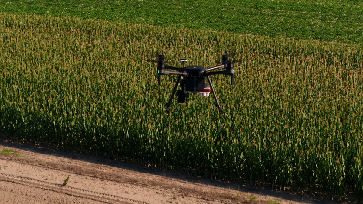
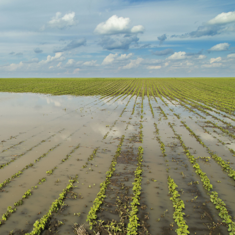
Once we’ve established a plan, we can move on to the data collection phase. Although farms might seem like a remote location ideal for unencumbered flight, the environment isn’t without its challenges. For example, crop dusters aren’t fitted with trackers, so they appear unexpectedly, and they’re difficult to avoid. Plus, many farms are located in areas with high-wind conditions—and they’re expansive, typically requiring multiple deployments from various locales.
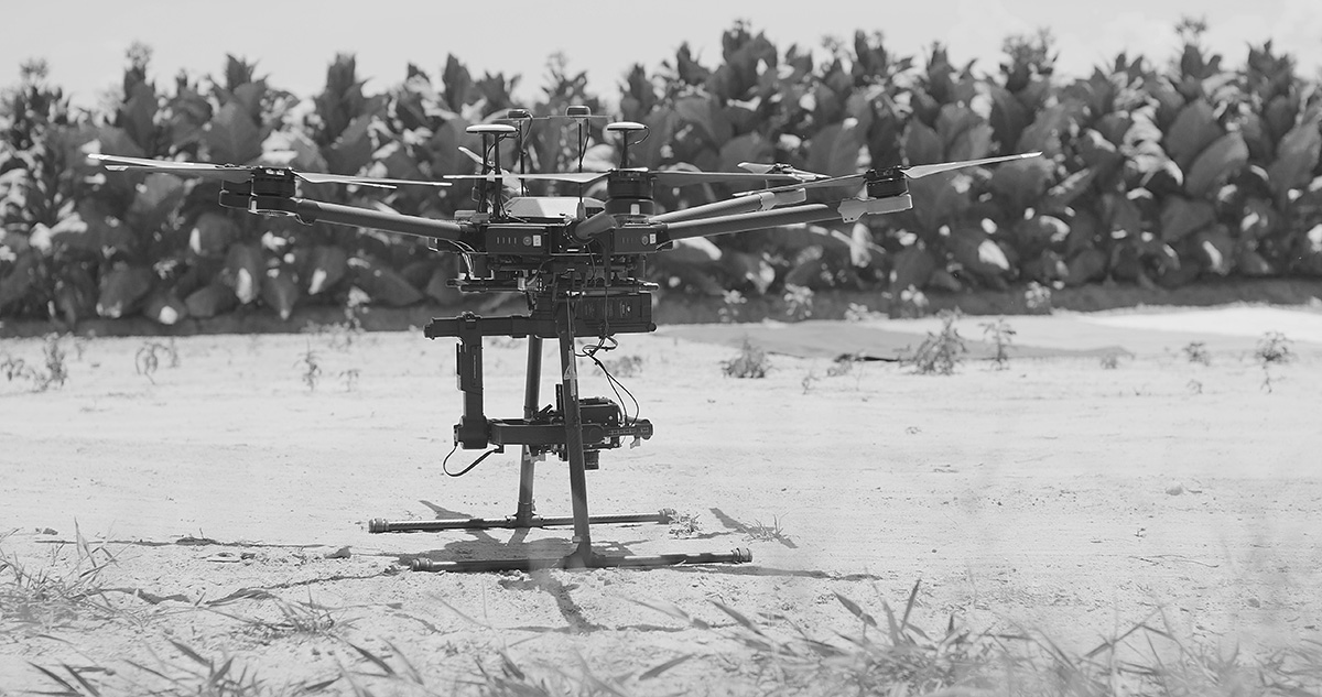
Our drones are purpose-built for such a challenging environment. They’re lightweight, but rugged, and include rotor blade guards to mitigate the damage that could occur on contact. They are also deployed with a high-resolution camera, allowing the operator to balance data fidelity with a safe stand-off distance.
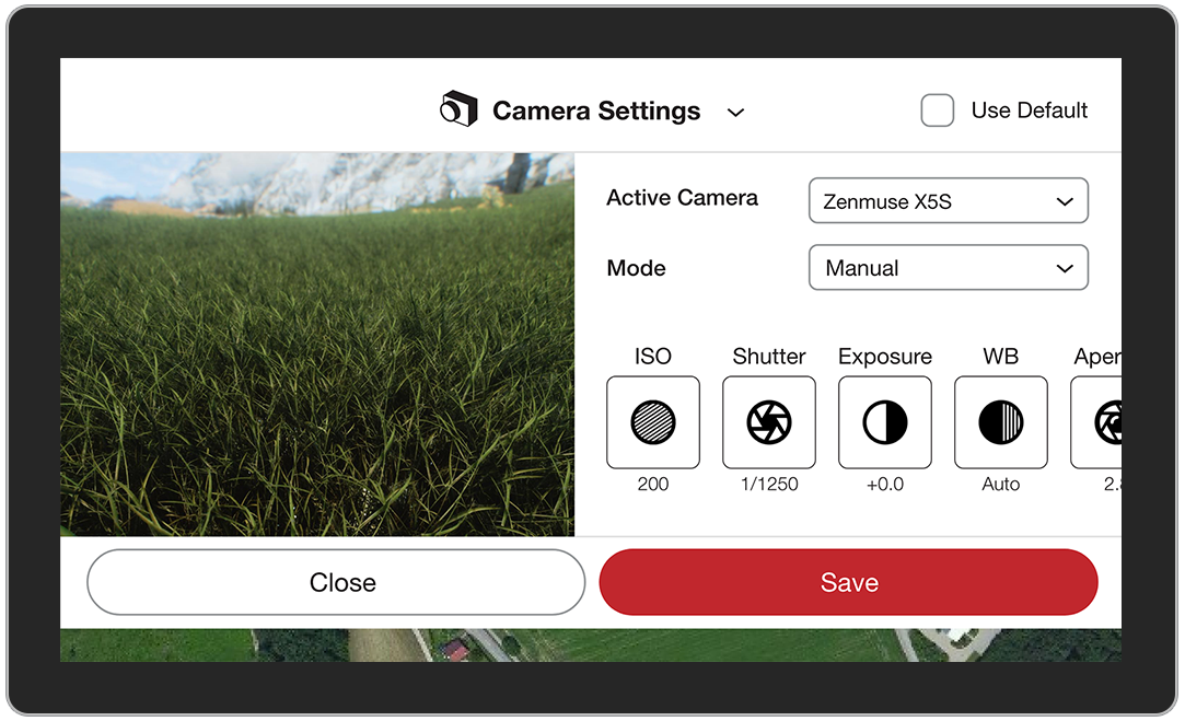
Operating flight software: PrecisionFlight
To execute missions, our pilots use PrecisionFlight. The software’s intelligent flight planning enables operators to deploy manual, semi-autonomous, and fully autonomous missions that comply with regulations and safety management systems.
A typical mission looks like this:
- Prior to a mission, the drone operator uses an intuitive drag-and-drop interface to define an area of interest. The software automatically optimizes the flight plan based on the objective, surrounding terrain, and no-fly zones.
- Once on-site, operators load the plan (no connectivity required), deploy the drone, and monitor it—using flight telemetry—as it automatically captures data over the area of interest.
- The drone captures imagery of the given field or asset. If issues requiring further inspection surface during autonomous flight, the operator can manually navigate to the area of concern.
- After the mission, the pilot can “replay” the mission to assess mission efficacy and optimize the flight plan.
While capturing field conditions at a single point in time is useful, you gain greater insight by tracking trends over a given period. Using PrecisionFlight’s repeatable flight plans, operators can capture multiple data sets, from separate missions, that precisely correlate.
A streamlined system of integrating data
After you collect inspection data, you need a focused system for analyzing and processing it. Sure, your analysts can pore over the terabytes of raw imagery and video. But by harnessing the power of machine learning, you can shorten the process, improving the precision and speed of your crop inspections.
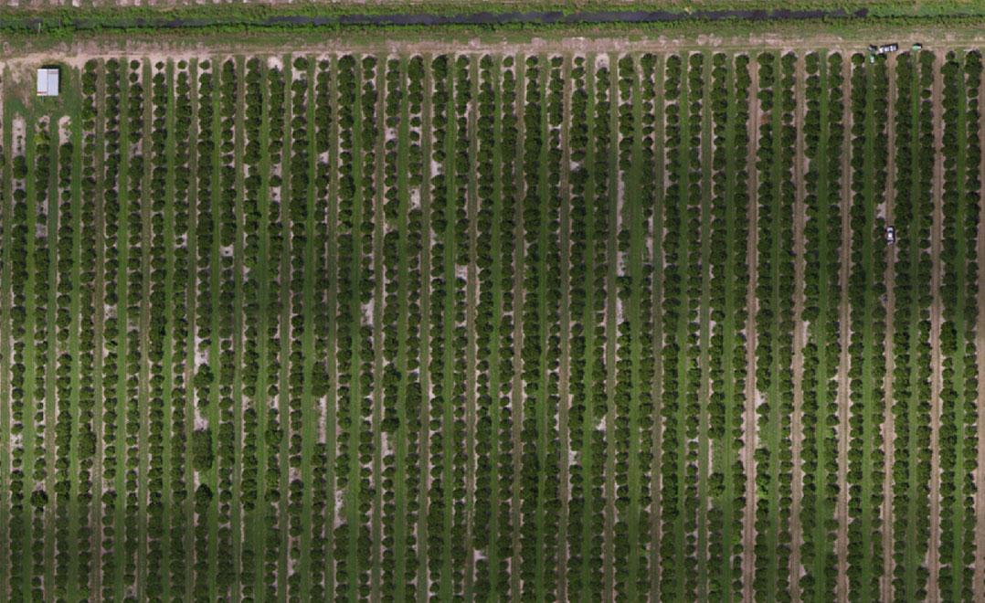
Here’s how PrecisionAnalytics Agriculture, our cloud-based platform, automates the identification of crop damage: Once a drone operator—or any other ground-based or aerial photographer—has collected the requisite imagery, they upload it into the PrecisionAnalytics Agriculture system. The software then cross-references the uploaded imagery against thousands of terabytes of crop data, flagging issues. Finally, the system produces a collection of imagery annotated by plant health.
After machine intelligence identifies imagery that represents crop damage, it aggregates the data into an intuitive, web-based interface that’s accessible from anywhere.
PrecisionAnalytics Agriculture features include:
- Crops at a glance: Review the overall health of plants and navigate image sets using intuitive map overlays, color-coded for damage severity.
- Detailed views: View full-resolution imagery and zoom in on key issues.
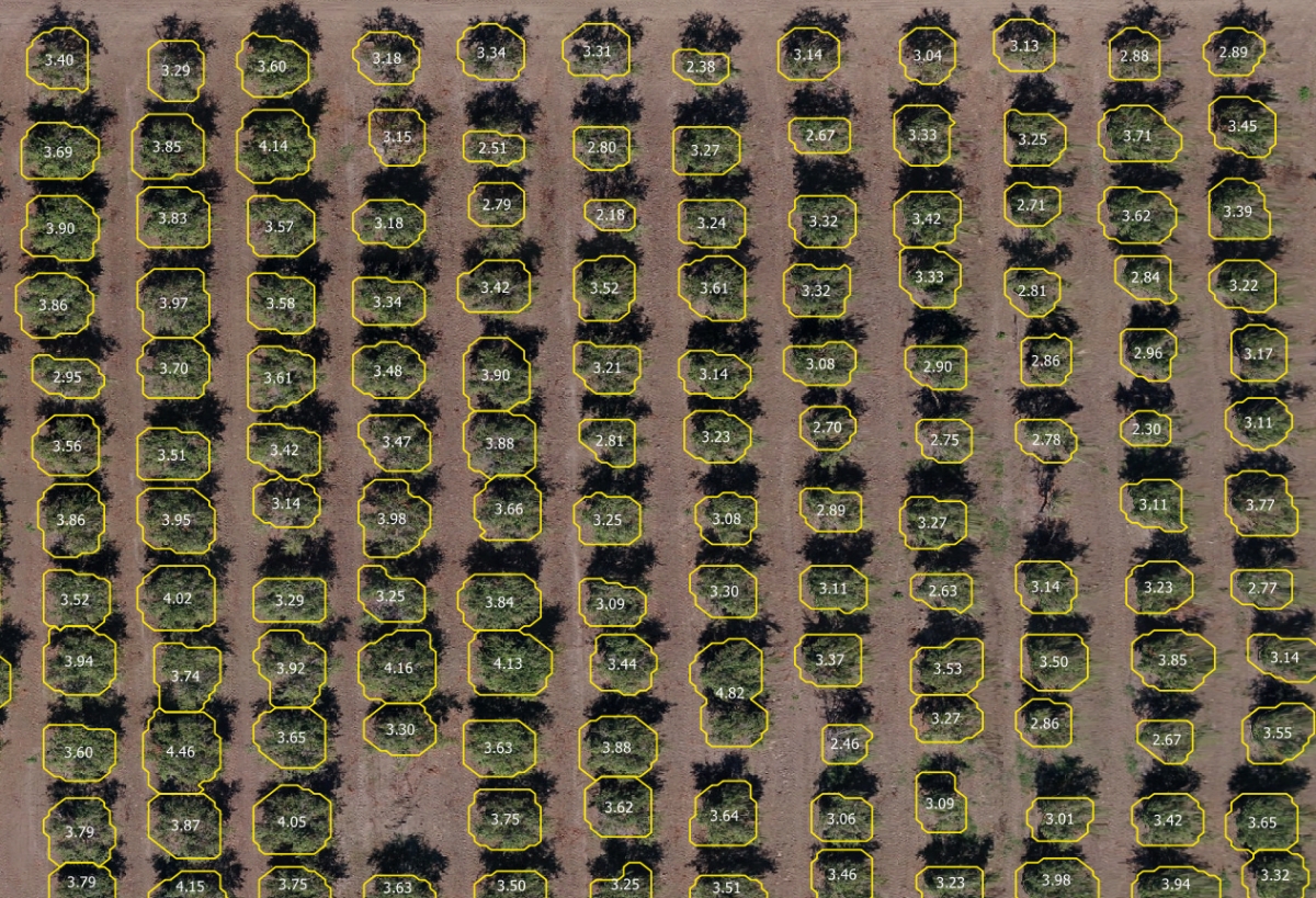
- Precision plant count: Quantify the number of plants or other countable assets with high accuracy.
- Vegetative indices on demand: Select from GRVI, VARI, NDVI, NDRE, SAVI, GLI, and ENDVI based on the age of the crop and what kinds of damage you’re looking for. Use a simple slider to adjust the color scheme of an index to emphasize areas of stress.
- Zonal and plot statistics: Shape your analysis to the unique characteristics of a field by defining custom zones or creating automatic and custom-defined plots. You can then calculate aggregate statistics on an area-by-area basis—from large zone to small plot—and export statistics for each one.
- Comparison view: View multiple datasets at a time, which lets you potentially identify precursors to the claim at hand.
- Optional downsampling: Low connectivity while on-site is common; upload lower resolution imagery to speed the process in areas with poor connectivity or slower connection speeds.
- Enterprise portal: Manage all your sites in one portal.
- Shareable web links: Easily share data with your customers to foster transparency and customer satisfaction. Customers can download and interact with the data, but cannot edit it.
Typical issues that analysts identify using drone-based imagery include:
- Lodging
- Green snap
- Storm damage
- Damage from birds and animals
- Insect damage
- Resistant weeds or invasive species
 In short, PrecisionAnalytics Agriculture streamlines your crop insurance claims cycle into a single, intuitive system. Stakeholders across your organization will gain greater insight into claims data. Plus, you can use PrecisionAnalytics Agriculture to identify hard-to-find issues during the underwriting stage and use trend data to surface problematic areas.
Report, integrate, action
Once PrecisionAnalytics Agriculture produces findings, it’s time to take action. But how do you turn aerial data into action? And how do you integrate it with other systems? By using the software’s flexible reporting and integration features.
PrecisionAnalytics Agriculture lets you quickly export files, reports, and maps. For example, you can download an orthomosaic at whatever resolution you choose; a file of your zonal or plot statistics; a plant health map; an elevation map; prescription reports; or PDF reports of map views with your selected vegetative indices, zoomed in to areas of concern.
You can also integrate the data you need into your claims management system, giving you the opportunity to turn data into action.
Ultimately, you own your data—take it anywhere you need it.
Partner with PrecisionHawk
With our drone-based platform, you can replace slow, inefficient “tailgate inspections” with drone deployments; hours of tedious image review with machine intelligence; and data overload with a focused system of reporting.
Contact an Agricultural Solutions expert today, and download our full solution brief for more details on how you can use drone-based aerial intelligence to transform the crop insurance claim cycle.