08.16.2021
The following is extruded from our Hurricane Response Time Lapse Infographic, which details the steps involved in preparing for a drone-based hurricane response. Download the infographic to learn how to prepare for a hurricane with drones.
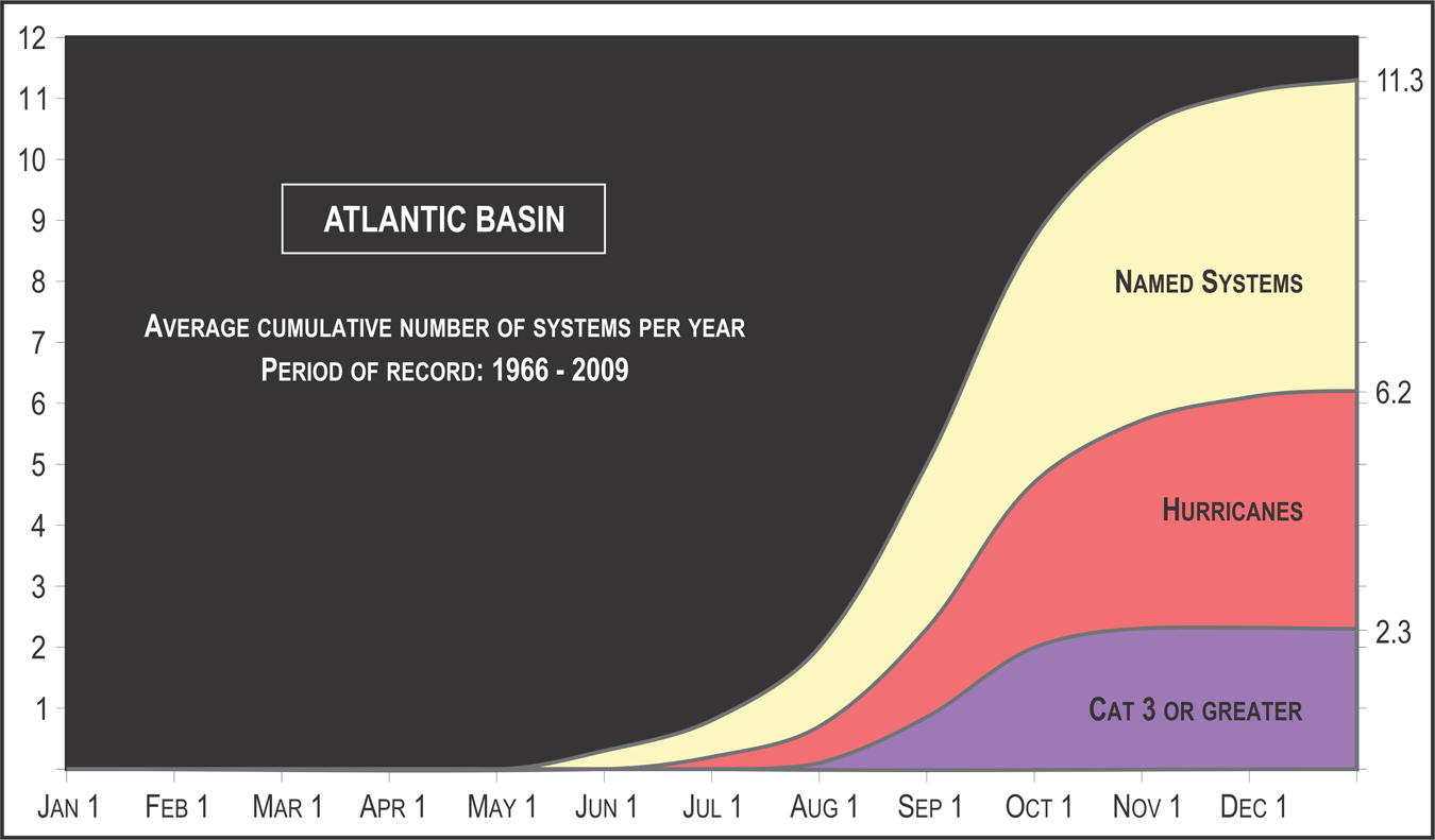
The Atlantic hurricane season—which impacts the Atlantic Ocean, Caribbean Sea, and Gulf of Mexico—runs from June 1st to November 30th. The states most affected by hurricanes are, in order of the number of landfalls, Florida, Texas, Louisiana, North Carolina, and South Carolina. In a given hurricane season, half of all tropical storms become hurricanes, and 2 to 3 hurricanes are category 3 or stronger.
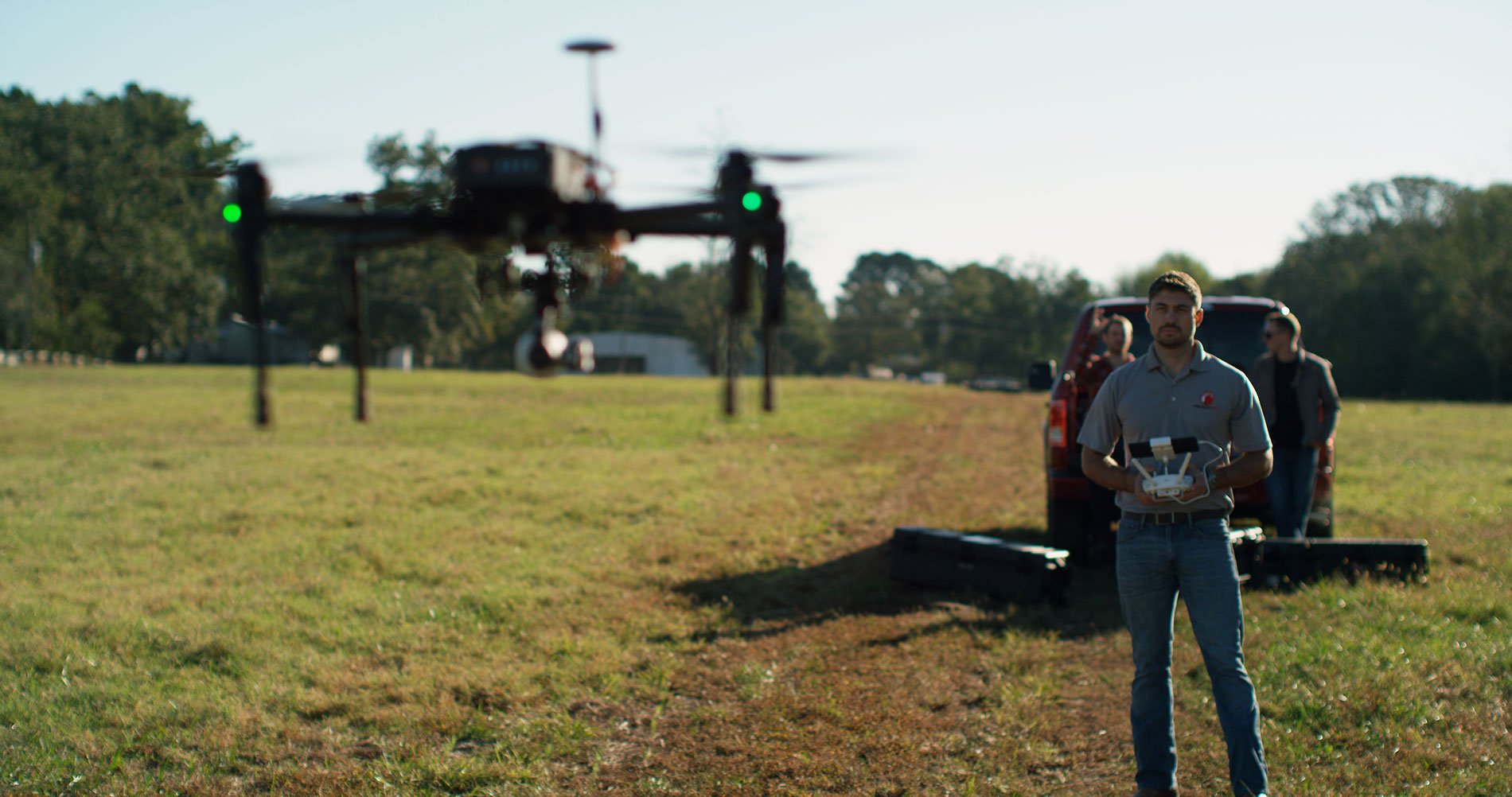
In recent years, drones have aided in hurricane response missions. By flying over impact zones, drones collect imagery and data of fallen trees, damaged utilities, and washed out roads or bridges. They enable ground repair crews to find alternate points of access when they are hindered by debris or flooding.
Ten days prior to landfall, weather reports begin to tell of the approximate trajectory and intensity of the impending storm. PrecisionHawk begins to receive requests for drone-based hurricane response preparations as utilities and state agencies become aware of the storm. This is how we plan a day-by-day approach to emergency hurricane response.

One week out
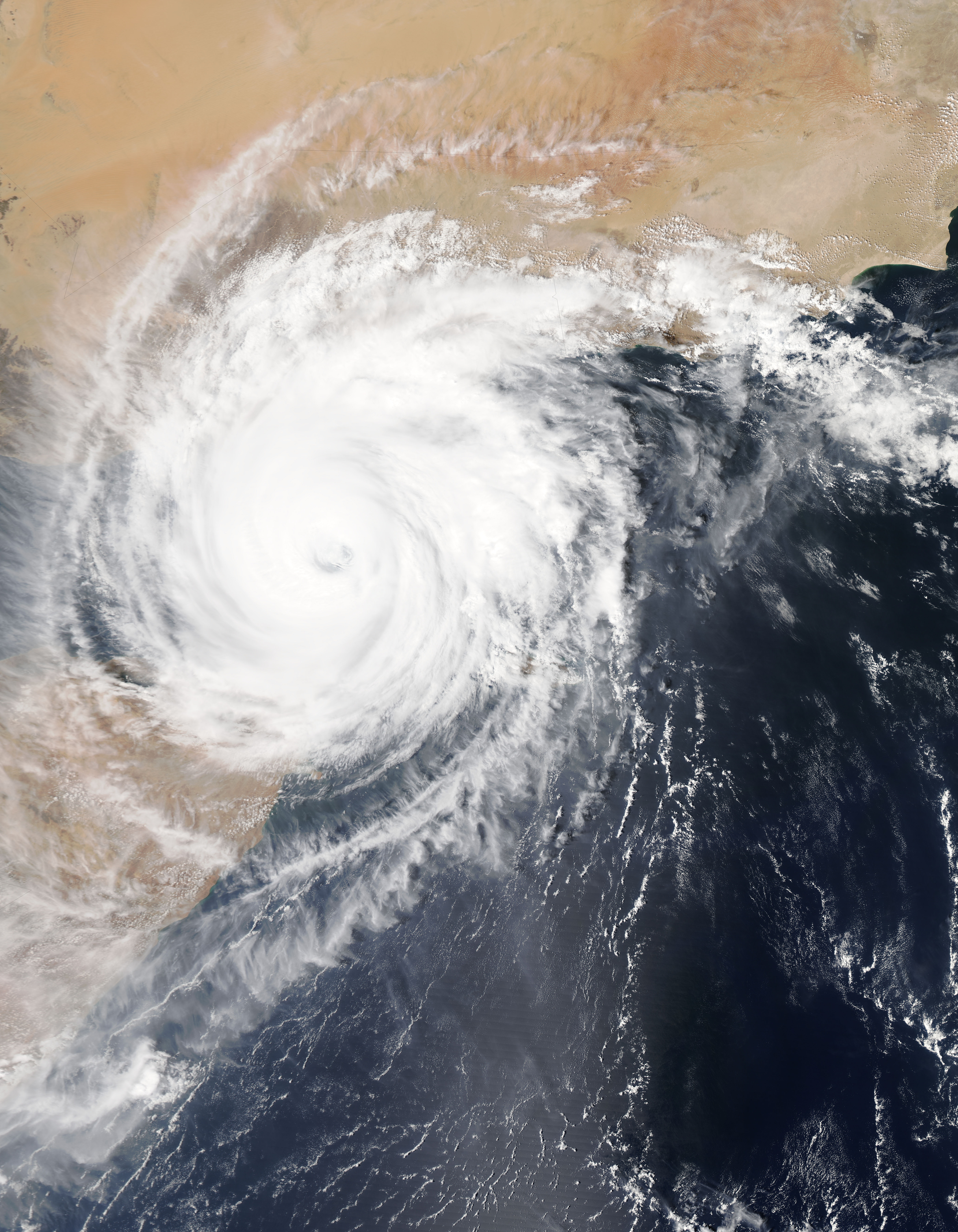
Hurricanes begin as a tropical depression in the Atlantic ocean. Thunderstorms enter a low-pressure area in the mid-Atlantic and produce circular winds with a maximum strength of 38 mph. At this stage, utilities, state agencies, and PrecisionHawk are aware of the impending storm and begin to track it.
Six to eight days out, the tropical depression progresses into a tropical storm. Wind circulation increases to between 39-73 mph as the storm approaches the Caribbean islands. Utilities and state agencies begin to formulate a response plan in case of a full-blown hurricane. Around this time, PrecisionHawk begins to receive calls from businesses and state agencies, requesting our drone operators, software, hardware and flight operations services to assist with emergency response efforts.
Four days before the expected storm hits, cyclonic winds increase to more than 74 mph, sometimes reaching over 100 mph. The hurricane approaches the coast and initial reports of the strength and intensity of the hurricane are available. We have a good idea of where it’s going to hit.
PrecisionHawk’s operations teams begin to build a plan for deploying personnel, customized to meet our client’s needs. This includes:
- A scalable plan we can expand, depending on the storm
- Deployment logistics and contingency plans
- Personnel planning with teams on standby for deployment
- Equipment plans to ensure aircraft and sensors fit the client’s needs
Our flight operations team and ground team leader plan for transportation, ensure drones are working, and supply all drone pilots with enough emergency supplies to cover several days. They work closely with the client to determine how many teams they will need, what kind of drone operators they’ll need, and have a plan in place to effectively communicate across those teams. Then, our teams begin staging equipment out of the PrecisionHawk office closest to the storm.
Three Days Out
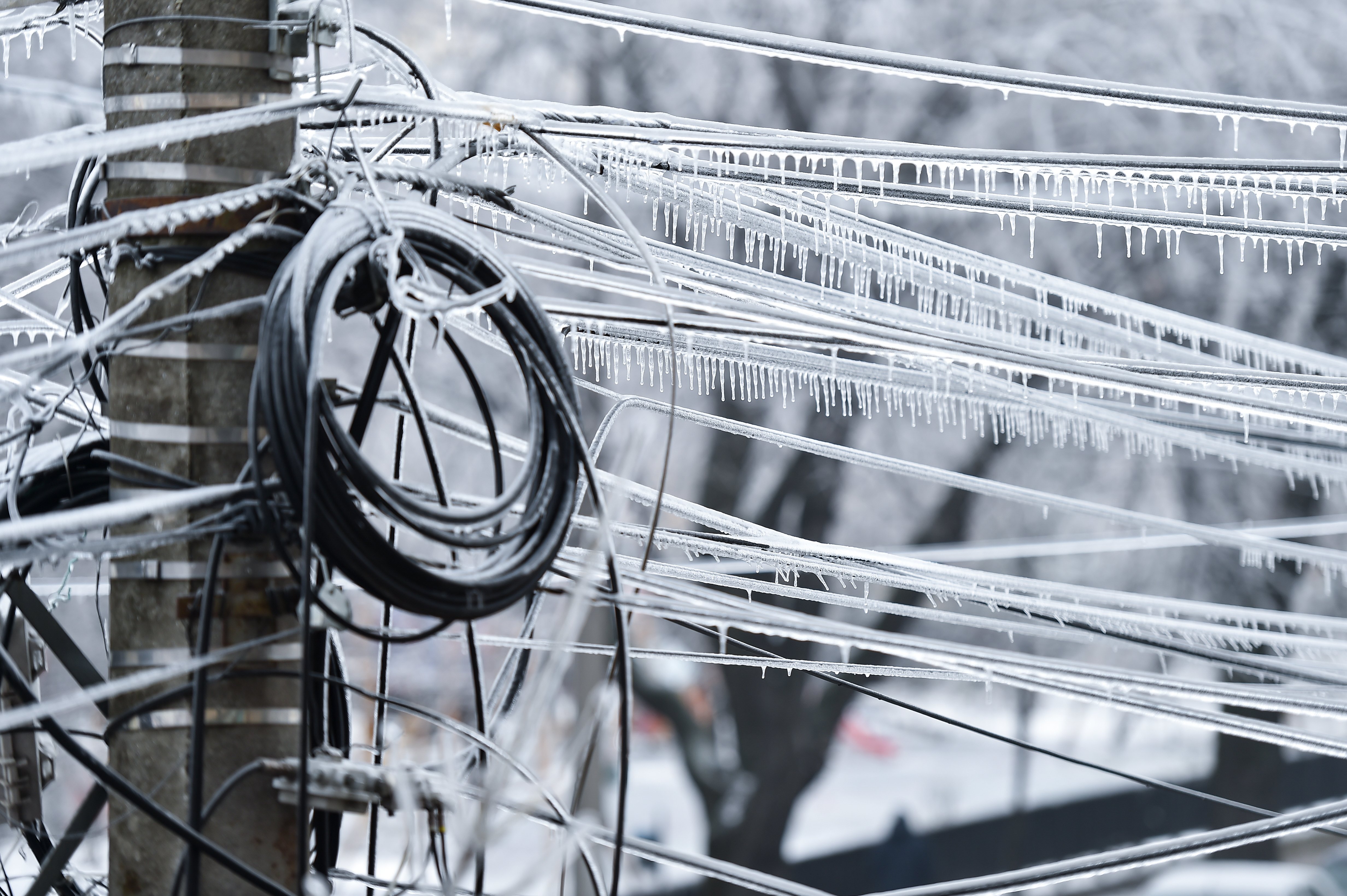
The cyclone develops into a hurricane. The worst hurricanes reach wind speeds of up to 175 mph (Katrina in 2005), and dump up to 60 inches of rain (Harvey in 2017). The strong winds and heavy rainfall cause flooding, destroy homes, down powerlines and trees, and leave people stranded. At this point, news coverage ramps up, urgency increases and the intensity of the storm becomes clear.
By now, we have a better idea of our client’s needs and who on our team is best positioned to help. PrecisionHawk’s response team begins to solidify the plans with:
- Proactive client outreach and optimization
- Internal communications procedures
- Finalizing the hurricane response Team
Communication is essential during hurricane response, especially in contingency planning. We deepen every touchpoint within a client’s operations, particularly the storm response center, so we can adjust our plan as needed. Working with our client, we develop a sophisticated collection of LiDAR teams, oil and gas teams, utilities response teams, and whoever else is needed. We prioritize the most adaptable and experienced drone operators, and the most reliable aircraft, to ensure redundancy in missions and results.
Experience has taught us that deploying teams of drone operators works best with a codified chain of command that helps facilitate communications and missions. The teams are organized with a Project Manager acting as the main point of communication and assisting with regulatory engagement. Each team also has one team leader with extensive storm response experience and six pilots with previous hurricane experience. Teams deployed to a given area include one or two pilots depending on the situation.
Within PrecisionHawk, we launch our storm-based communication mode to provide support for the teams on the ground and our clients.
Two Days Out
The hurricane approaches land. We know the intensity and strength of the storm and can anticipate which regions it will impact. Our hurricane response teams solidify plans and prepare to mobilize.
Confirm Logistics
We know how we’re getting teams to the impact region and where to stage them to safely wait out the storm
Confirm equipment
We know exactly what aircraft and sensors we need to complete the missions and prepare the batteries and generators required to support them; we ensure a redundant inventory of everything is at hand.
Regulatory Engagement
We apply to the FAA for permission to operate within the Temporary Flight Restriction (TFR), in partnership with our client.
One day before landfall, we finalize our plans and preparations. Then, we deploy response teams to a safe area near the impact region and send a key point-of-contact to the clients’ operations center.

Landfall
During landfall, the storm changes quickly, causing damage to homes, utilities and infrastructure. Our flight operations team continues to revise our plans with the client to account for contingencies.
As the hurricane begins to move on and winds die down, we prepare to deploy. Once winds are below 34 mph (30 knots), teams are deployed to disaster zones to begin collecting data.
Once at the scene, the team flies the drone over assets to look for critical damage such as flooding or downed utility poles. They can livestream video feedback to the operations center, enabling the client to make fast decisions and send repair crews to critical areas immediately.
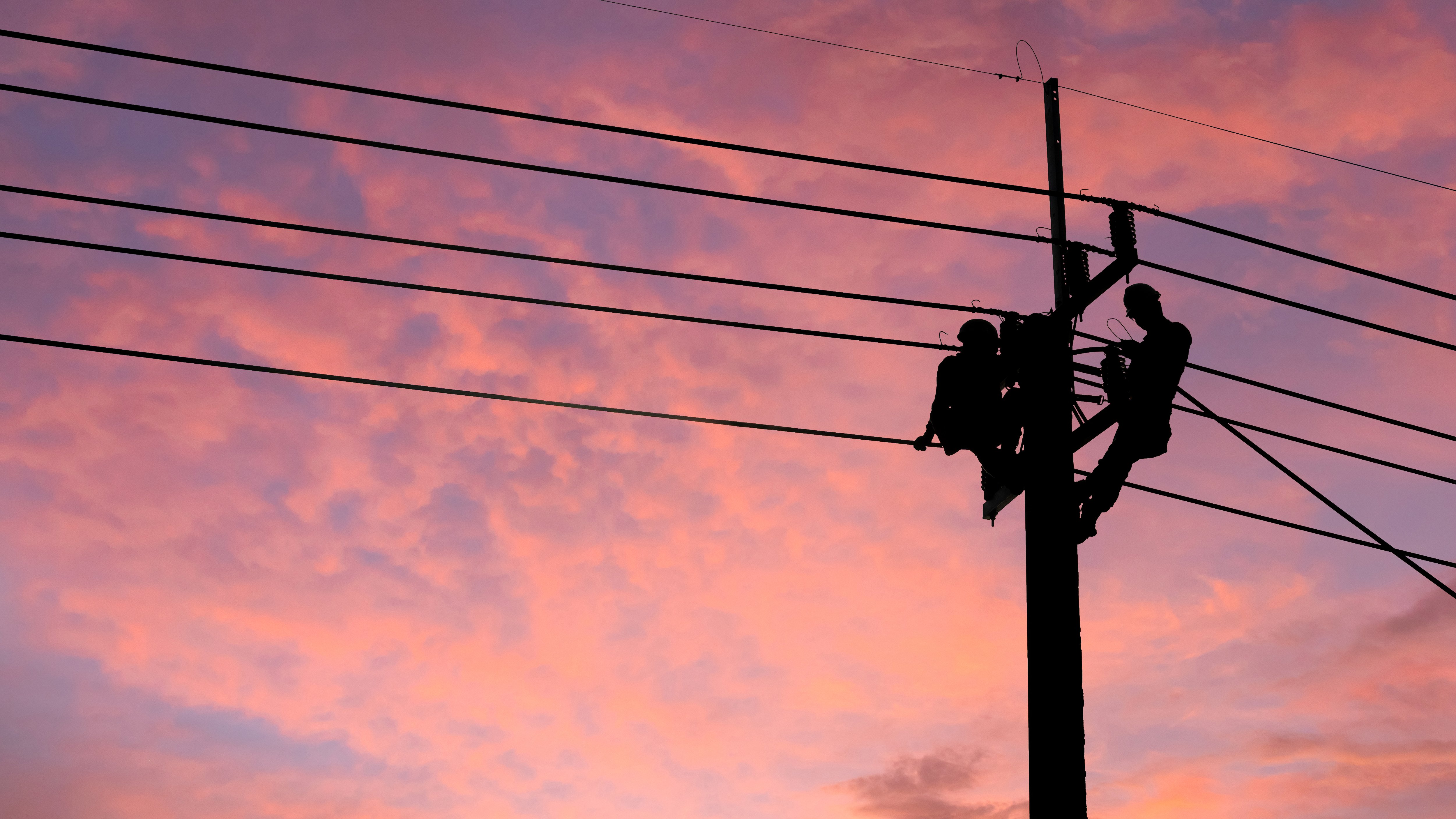
Repair crews respond quickly, know exactly what equipment to bring, and are able to help identify fast, safe routes to those areas. This mitigates the danger to workers and speeds the repair process to restore uptime and facilities.
Download our infographic to learn more about our day-by-day hurricane response preparation.
