08.16.2021
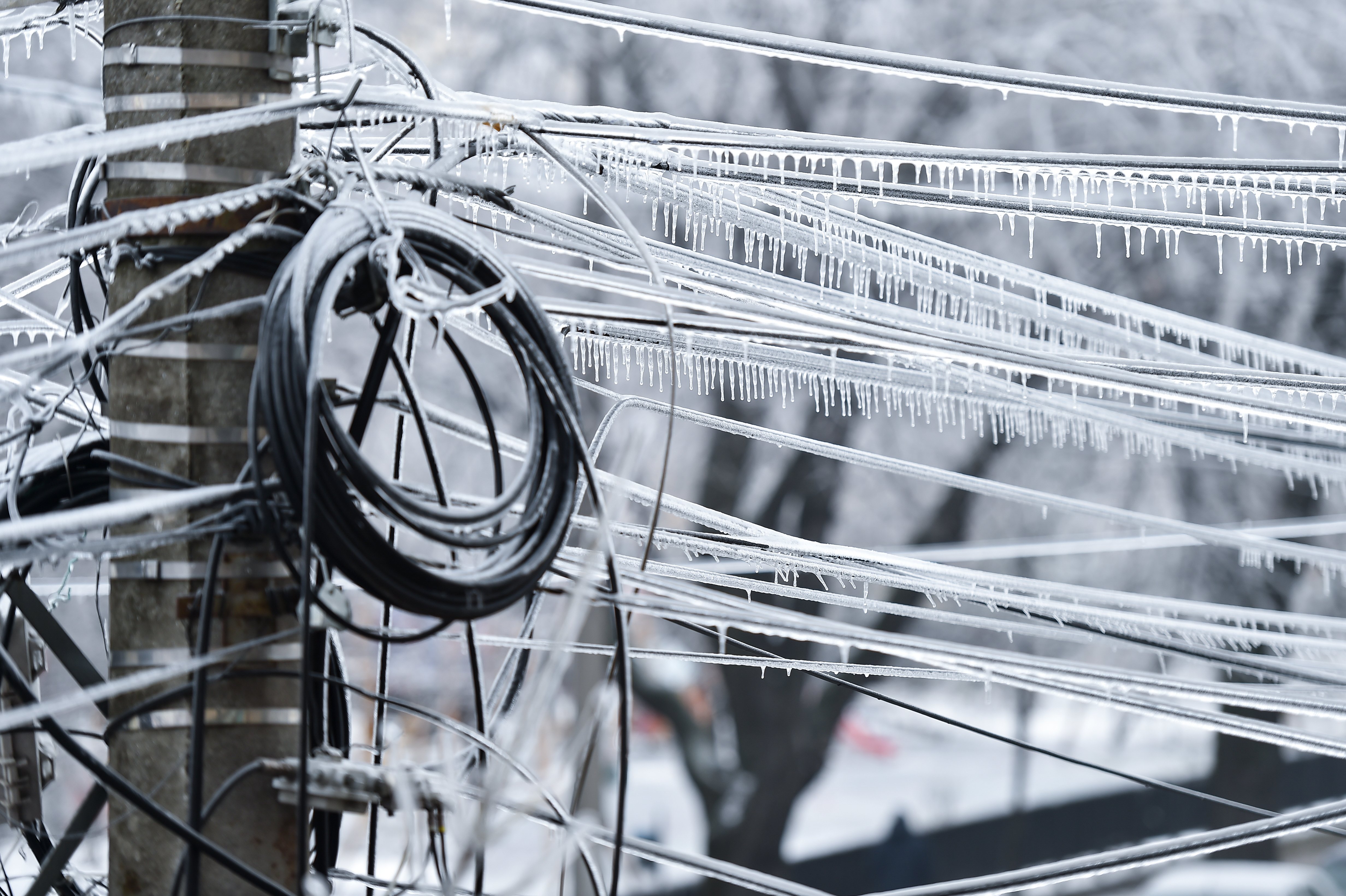
The frequency of destructive hurricanes is increasing. Three of the five most disastrous hurricanes in the past decade occurred in 2017. Hurricane Harvey alone accounted for over $120 billion of damage in Houston, Texas, flooding 30,000 homes and 1 million vehicles, destroying utilities and infrastructure, downing power in many areas and stranding victims. Deploying drones to assist with search, rescue and cleanup has helped speed disaster recovery.
During the hurricane Harvey response, the world witnessed the benefits of deploying commercial drones in disaster relief. The same happened after hurricanes Irma and Florence, responsible for about $50 billion and $20 billion in damage, respectively.
“The ability to mobilize drone pilots, who have the requisite training, gear, and certifications to respond to a disaster, is the key to taking full advantage of the technology’s life-saving capabilities,” said Daryl Watkins, Vice President of Enterprise Accounts at PrecisionHawk.
Here’s a look at how drones have impacted hurricane emergency relief efforts, and how PrecisionHawk’s network of drone pilots can help.

Drones Make History in Hurricane Harvey Relief
Following Hurricane Harvey’s devastating impact, the FAA expedited the issue of over 100 Part 107 waivers for drone operators assisting with relief efforts, allowing them to fly drones above Houston and surrounding areas for emergency drone activities. Waivers were issued to both companies operating drones to inspect the damage of their assets and individual drone operators working or volunteering to assist with data collection and mapping.
Some of the ways drones were used included:
- Surveying damage on railroad tracks
- Evaluating Oil and Gas facilities and powerlines
- Partnering with public agencies to assess damage to roads, bridges, and water treatment plants
- Inspecting infrastructure damage for insurance companies
- Evaluating cell tower damage
- Identifying problems caused by flooding
Drones pose an advantage over traditional manned aerial inspection because they’re much less expensive to operate, smaller and more easy to navigate, and allow operators to remain safely on the ground.
After hurricane Irma hit Florida, HAZON Solutions, now owned by PrecisionHawk, made their drone fleet management software free to any drone operator involved in hurricane response or recovery. Their drone management system allowed rapid information sharing, so drone operators could track flights, manage maintenance and monitor weather and airspace--ultimately helping them understand where their drones need to be to assess damage and provide aid.
During the 2017 InterDrone conference, FAA Administrator Michael Huerta said “The response to Hurricane Harvey will be looked upon as a landmark in the industry.”
Preparing for Impact with Drone Operators
In September 2018, in anticipation of Hurricane Florence’s landfall, the North Carolina Department of Transportation (NCDOT) partnered with PrecisionHawk to launch a preemptive UAS response. NCDOT used drone technology to complement the state and federal manned response teams, with a focus on launching drones during and after the hurricane to monitor and inspect the state’s transportation infrastructure.
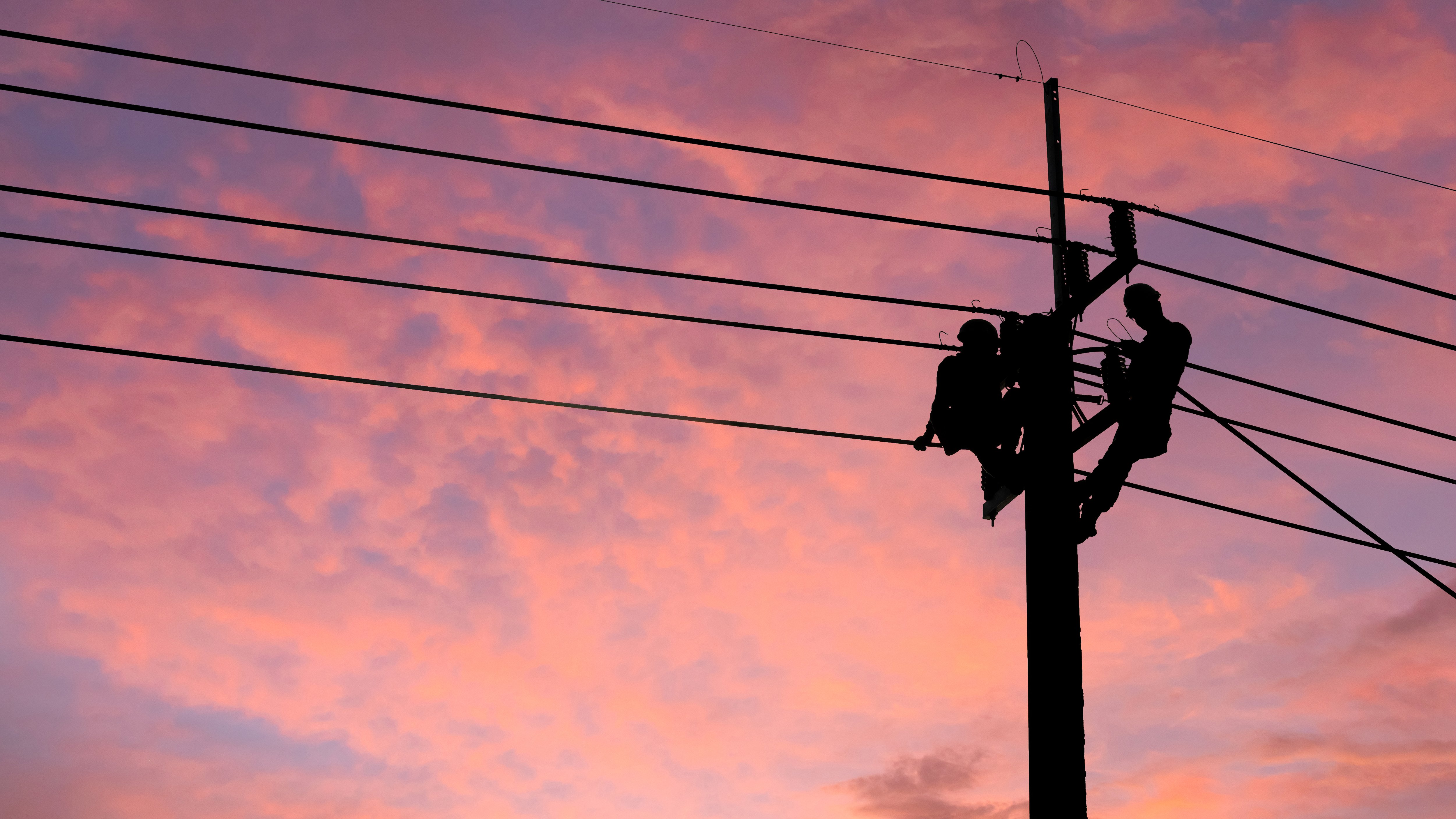
Once the winds died down, drone operators searched for people in need of help and delivered medical supplies. Afterward, with high-resolution sensors and the ability to fly low and close to facilities, drones were used by utilities and governmental agencies to identify powerline or infrastructure damage. Since drones enabled responders to bypass obstacles and hazards, their use sped assessment and repair efforts.
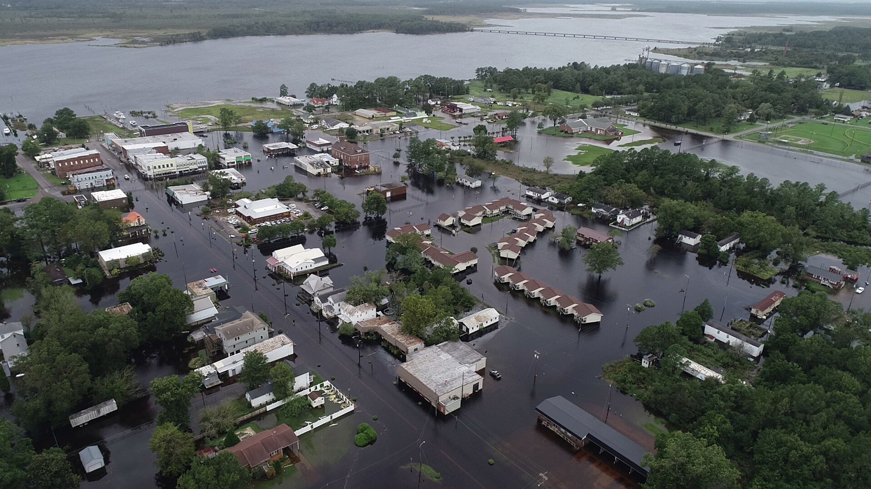
The NCDOT flew more than 260 drone missions and captured more than 8,000 videos and images. With visual context, state agencies were able to deploy emergency responders and divert people away from risky areas. By assessing roads, highways, bridges, airports, ferry terminals, waterways and dams across the impacted region, drone technology ultimately enabled responders to better prioritize critical issues and make preliminary plans for recovery.
Ultimately, the NCDOT’s collaboration with PrecisionHawk and other agencies demonstrated a model on which future hurricane response efforts can be based, with the potential to launch more weatherproof drones during the storm and expedite emergency relief.
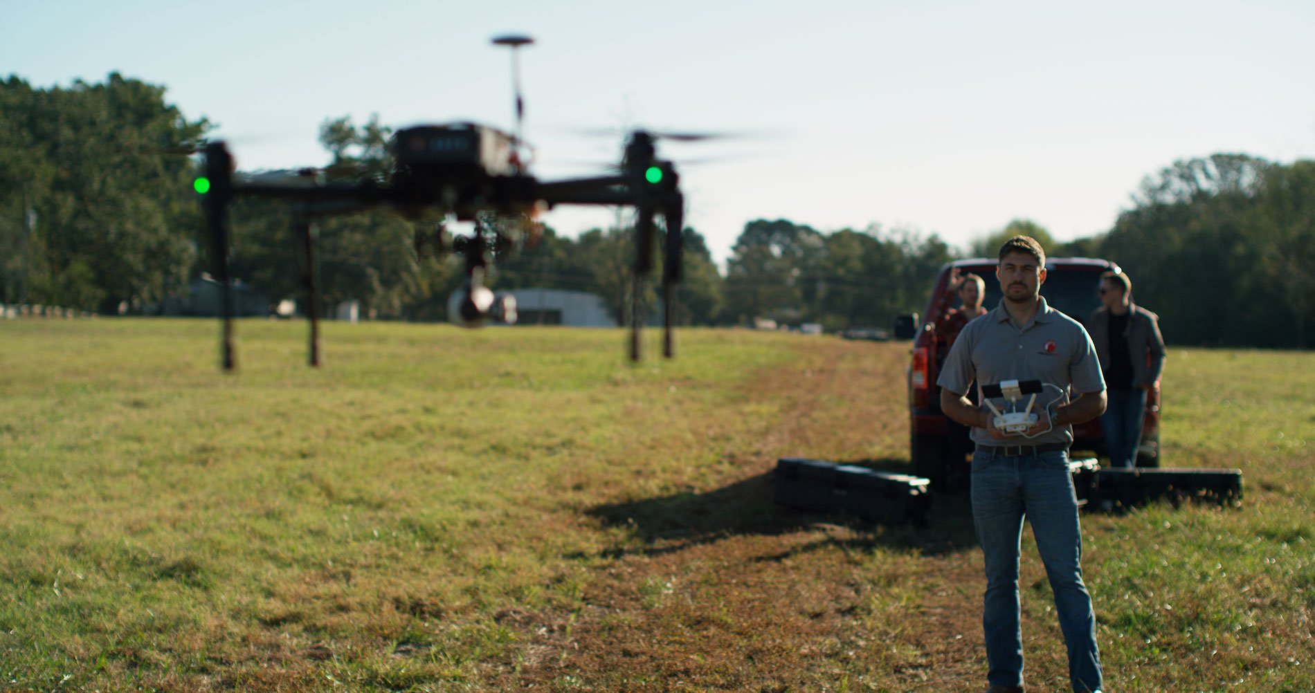
Part of what made this mass relief effort possible was the legions of credentialed drone operators. PrecisionHawk’s Drone Pilot Network is a network of over 15,000 independent operators, the largest of its kind, with pilots available across the country.
Our certified drone operators participate in a training program based on Naval aviation principles, designed by our ex-TOPGUN flight leaders. Beyond drone operations, our pilots train in storm relief missions, regulations, and disaster zone best-practices. We make sure our drone pilots know how to file applications for certification to fly in any state, and are aware of state-specific authorizations and restrictions during emergencies. When demand for drone-based data collection spikes, such as in the wake of a natural disaster like Hurricane Florence, we put out a call for operators to help collect data.
If you’re a pilot looking to assist in the next hurricane relief effort, join our network. Businesses and governmental agencies looking to make drone-based aerial intelligence a part of their disaster response plans can speak with our flight operations experts.