04.14.2023
Innovation is in our roots—we’ve pioneered best practices in flight operations and geospatial data analysis since our founding in 2010. While we’re experts in blending multiple layers of data sources—our solutions aren’t driven solely by technology. They’re driven by the people of PrecisionHawk.
Today, we spotlight one of our geospatial experts—Colin Axel, Senior Geospatial Scientist. Colin leads our team of geospatial analysts in developing and implementing geospatial workflows and algorithms for Fortune 500 enterprise clients. He earned both his BS and Ph.D. from the Rochester Institute of Technology. His dissertation focused on developing automated workflows for analyzing urban infrastructure and transportation networks after natural disasters using remote sensing.
 Career Progression: Leading the Way in Remote Sensing and Disaster Response
Attending the Rochester Institute of Technology (RIT) was an easy decision for Colin—he grew up in Rochester, New York, and became familiar with RIT in high school. Upon receiving his acceptance, he enrolled.
Colin initially declared an Electrical Engineering major, but after touring RIT’s Chester F. Carlson Center for Imaging Science with a family friend who worked in the program, he switched his major to Imaging Science.
“Imaging Science was a catch-all for imaging, everything from next-generation cameras and printers to advanced satellites and data analytics. I selected the remote sensing track so that I could focus on how remote sensing technology and data could be used to improve environmental outcomes and keep people safe.”
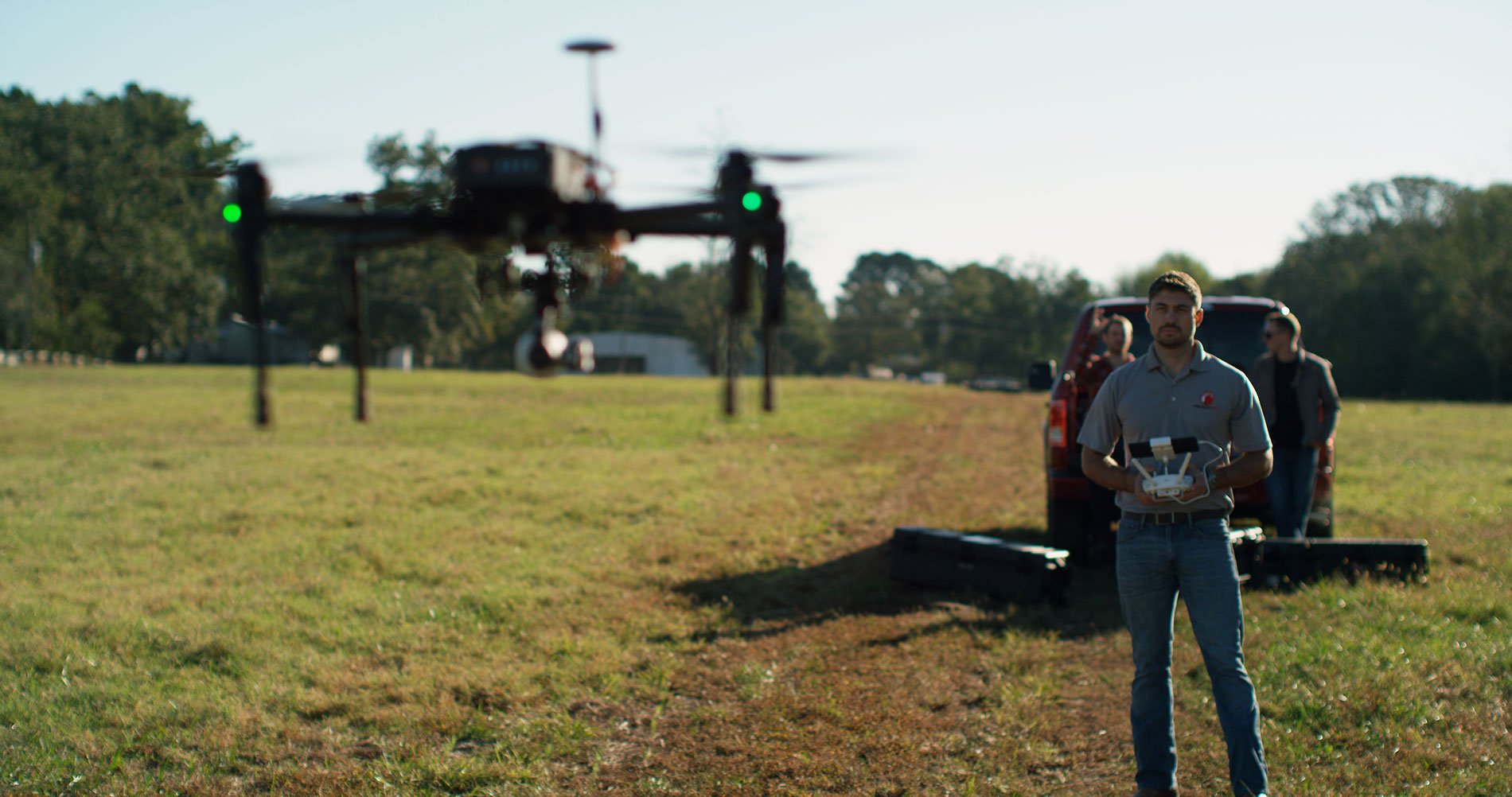
While Colin delved into the practice of remote sensing and geospatial data at RIT, he and his friends used their spare time to experiment with an intriguing technology—drones. His experience with geospatial data technology in and out of the classroom laid the foundation for a career dedicated to advancing the way geospatial data is processed to solve large, often intractable challenges.
In his senior year, a professor invited Colin to enter RIT’s doctoral program in Image Science to assist in the design and implementation of a remote sensing-based disaster response program for the New York City Department of Transportation (NYC DOT). After Hurricane Sandy, NYC DOT selected RIT to develop automated geospatial analytics for rapid assessment of urban transportation networks after natural disasters.
“We were provided city-scale airborne imagery and LiDAR data collected both before and immediately after major hurricanes and earthquakes. Working with NYC DOT to understand their priorities after a major weather event, we built a software tool to help aid in their response. The tool used post-disaster data as an input and automatically derived what was most important in either scenario—for hurricanes, the location and water depth of flooded roads, and for earthquakes, the volume of debris blocking the roadway.”
Through the research process, Colin devised a method for pairing geospatial analysis with machine learning that both provided clear insights for the NYC DOT and built the framework for the city’s response to disasters. By knowing where, and to what extent, roads were impassable, the NYC DOT could allocate their road-clearing equipment in the most efficient way.
“This research was fascinating, interesting, and important. I mean, there I was, as a 22-year-old, handed all of this disaster data, asked to solve an incredibly complex problem in an innovative way that ultimately resulted in keeping people safe.”
- COLIN AXEL, SENIOR GEOSPATIAL SCIENTIST
Upon receiving his Ph.D. in Imaging Science, Colin joined PrecisionHawk’s Data Services Team. Colin and his team incorporate geospatial analytics and machine learning models, like those he developed during his doctoral research, to meet a wide range of client needs in the energy sector.
“Implementing best practices in automation allows us to innovate and accelerate processes such that we can scale solutions that solve problems, increase efficiency, and yield effective results for our clients—and that’s what we do, every day, in our data services team at PrecisionHawk.”
Building Solutions to Process Data—the Right Data
Colin’s career has spanned periods of extraordinary improvements in both computing power and data collection capabilities. In an era where “big data” has become a household buzzword, companies are often left with an immense quantity of data and a need to process and analyze it.
“Many industries are trending this way—massive amounts of incoming data—and what we’re focused on is reducing the time required to transfer and analyze data. We’re helping people do something more meaningful and innovative with their time,” says Colin.
That’s the work Colin and the more than two dozen members of the Data Services Team advance every day—enhancing the data value chain at every step in the process, yielding more efficient and more effective data analysis outcomes that drive action.
Colin and his team construct models with strong feedback loops to take the guesswork out of how to increase performance. In many cases, a model must evolve throughout a single project to address new situations. Having real-time performance feedback from the model saves time that can then be allocated to address other needs.
“One example of the confluence of these two trends in technology—the increase in the quantity of available data gathered through a variety of methods and the need to rapidly process and analyze it—are projects that contain a large data set of fairly repetitive images,” says Colin.
Training a model on every single image in a large dataset—say, five images of each of 275,000 distribution poles in a utility’s network—risks wasting computing power and training time only to get diminishing returns in terms of performance. Instead, training the model on a small subset of the data and monitoring performance early allows one to quickly assess where improvements are needed. Not surprisingly, the model learns the easier, repetitive tasks first, freeing the data team to focus on edge cases and outliers to ensure robustness of the model.
“Rather than focusing on processing a lot of data, we’re focusing on gathering and processing the right data,” says Colin.