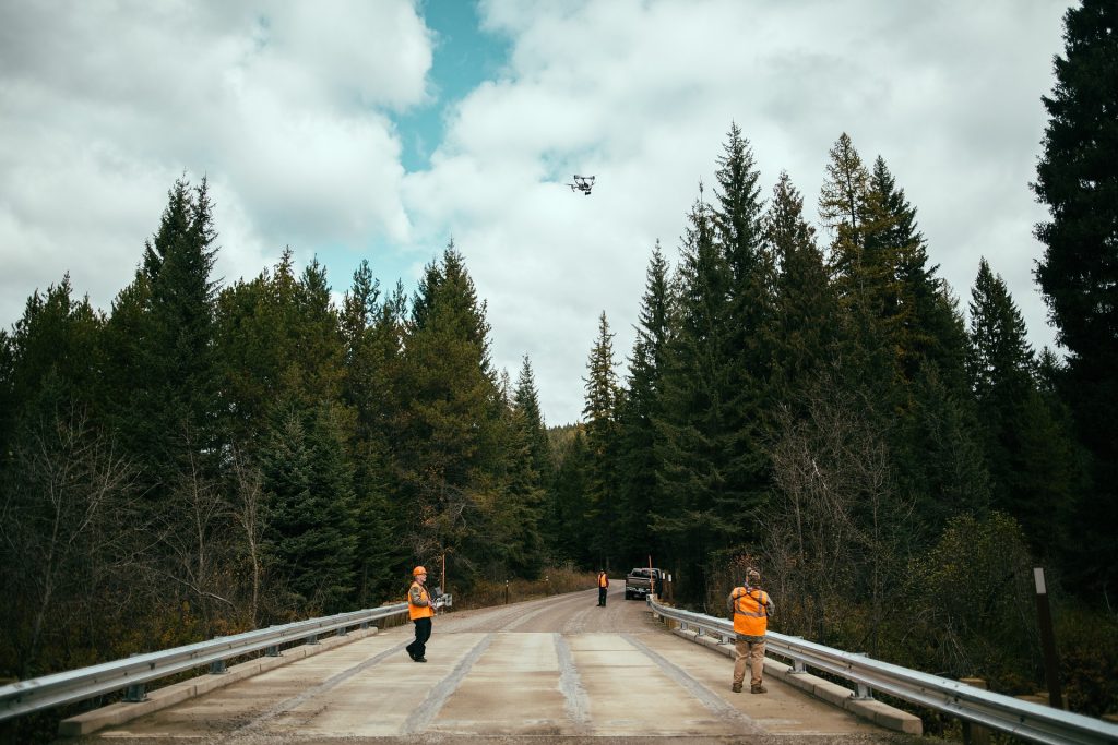
Over the past three years, PrecisionHawk has been researching the next big development in commercial drone technology - Beyond Visual Line of Sight (BVLOS). In partnership with the FAA, we collected data from over 75 drone operators in the field, 70 in the simulated environment, and more than 600 approaches in the field. All of this to answer the question:
Is it possible to safely conduct BVLOS operations in the national air space?
The answer is yes.
We’ve learned that with the right systems, and the right kind of training, the sky is (literally) the limit for BVLOS operations.
What’s Next
“BVLOS flight unlocks the next generation of surveying applications. By enabling workers to operate drone-based sensors remotely, businesses can collect data from places they never could before, And everyone—workers, businesses, and the customers they serve—benefit from an overall improvement in safety.” - Thomas Haun, SVP of Partnerships at PrecisionHawk
We couldn’t agree more. With a framework in place to help ensure safe and reliable BVLOS flight, the applications for commercial drones are limited only by our imaginations. Below are just a few of the possible ways industries can take advantage of the technology.
BVLOS drone flight applications by industry:
- Insurance -- Assessing large areas following a disaster
- Construction -- Monitoring progress along several miles of infrastructure
- Energy -- Powerline inspection, monitoring oil and gas pipelines for encroachment, leaks, and other issues
- Agriculture -- Measuring plant health on a large farm
- Government -- Conducting search and rescue or surveillance
Better, Faster, Safer
BVLOS isn’t just about new applications, though. The enterprises we’ve engaged in BVLOS missions are getting high-resolution outputs of drone-based data collection, faster and at a lower cost than VLOS drone flight and traditional methodologies. Here’s how:
Efficiency
Each deployment and landing—and ground travel time in between—takes time. BVLOS allows the drone to collect more data in fewer deployments. In addition, deploying a drone costs less than several traditional methods, such as manned helicopters and airplanes.
Better Results
Flying BVLOS missions, drones can replace traditional long-range aerial data collection platforms, such as manned aircraft and satellites. The lower altitude of drone flight makes them ideal for high-resolution data collection. Some operations also need fine control over the timing of data collection and drone flights can deliver this enhanced functionality.
 Safety
In many cases, drones prevent humans from being placed in a dangerous situation, either removing them from an aircraft or a hazardous area. These areas can be inaccessible for a ground crew, and are often outside VLOS range.
Ready to learn more about BVLOS and how it can benefit your organization?
In our new whitepaper, Opening The Skies To Beyond Visual Line of Sight Drone Operations, we’ve outlined everything you need to know about integrating BVLOS operations into your existing infrastructure.
- How BVLOS can help businesses collect data in a safer, more cost-efficient manner than traditional methods
- Recommendations and findings from three years of BVLOS safety research
- The safety measures, technology, training and hardware needed for successful BVLOS operations