In our new eBook Beyond the Edge, you’ll learn about advanced drone-based sensing and four key sensors: thermal, multispectral, hyperspectral, and LiDAR. Read it now.
Demand for Data is (still) Growing
Geospatial data has never been more in-demand than it is today. Savvy enterprises are using outputs from LiDAR, hyperspectral, and other advanced sensors to observe their operations and take action.
Deploying these sensors using manned aircraft or ground-based platforms can be cost- and time-intensive.
But drones are changing the equation.
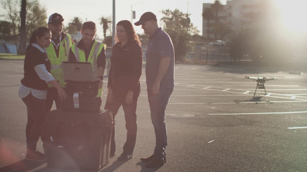
Drone-based Sensing is Here
Drone-based sensing technology is more accessible than ever. That’s thanks to improvements in sensor quality, decreases in hardware size, and innovations processing power. In addition, drones fly further and more reliably than they did even just a few years ago.
As accessibility to this technology improves, so too does the scope of its applications. From research to construction, operations and risk management, businesses are using drone-based advanced-sensing to drive bottom-line value. For example:
- A global agricultural leader accelerated plot-based plant measurements by 2.5x
- A facility management service provider cut roof inspection time by 80%
- A global reinsurer prevented losses resulting from issues associated with solar arrays
Whether your business is seeking to cut costs, improve worker safety, or streamline operations, there’s likely an advanced sensor that can support better data collection.
Read our Free eBook
In our eBook Beyond the Edge, you’ll learn about advanced drone-based sensing, including four key sensors:
- Thermal
- Multispectral
- Hyperspectral
- LiDAR
You’ll get detailed technical information about industry-leading sensor technology. Also, you'll learn how to plan flights and collect data. Finally, you'll receive guidance for adding advanced sensors to your geospatial program.
Learn how to take your data collection beyond the limits of existing methodology. Read our ebook.