08.16.2021
The following is an excerpt from our Expert Insights: The Top Utility Trends of 2020 & 2021 ebook. You can access the full report here.

Drones are already an improvement over manual and helicopter-based inspection processes. Once they’re fully automated, the benefits will stack up even more.
THE CHALLENGE
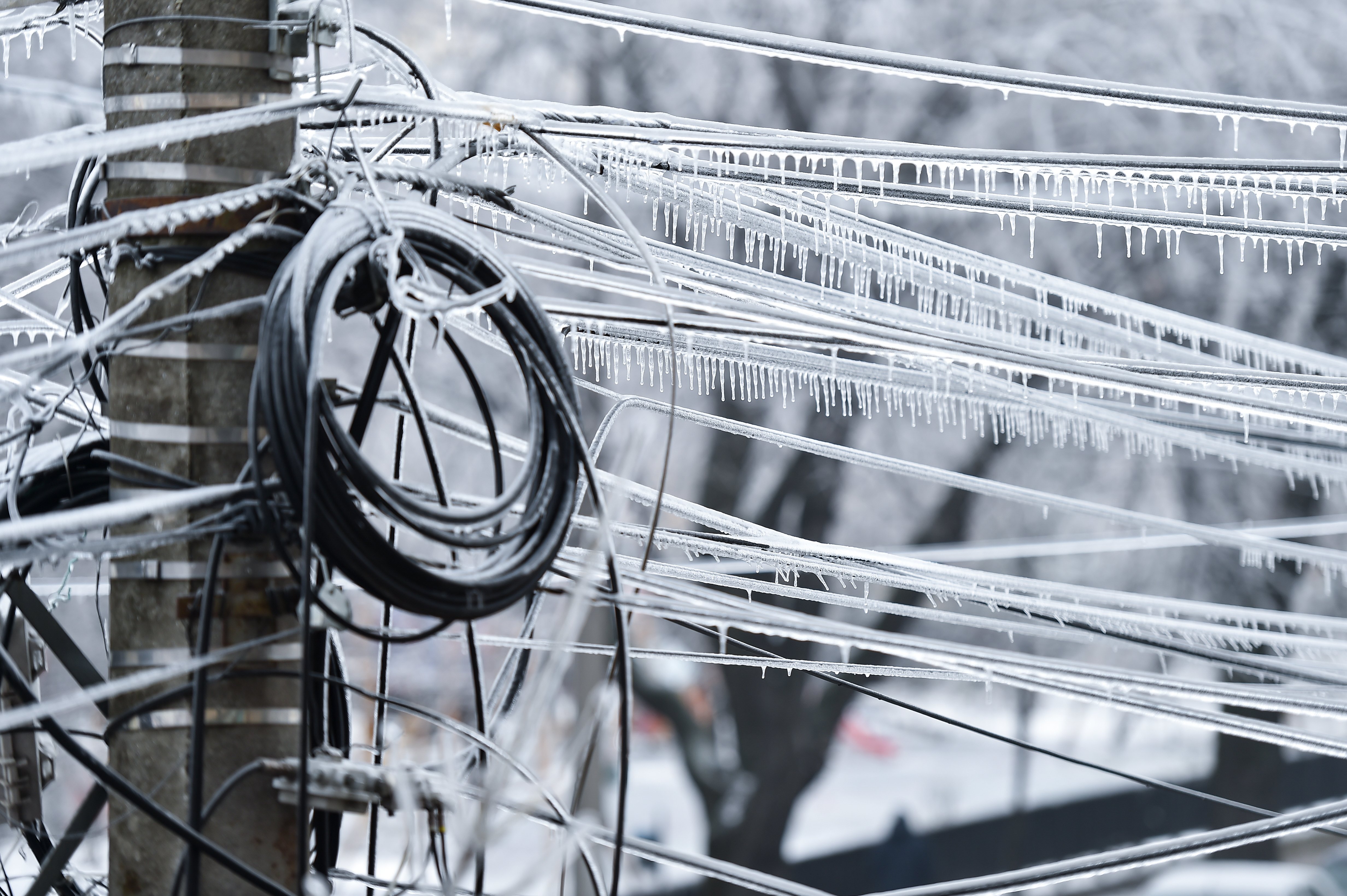
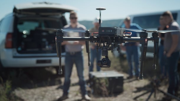
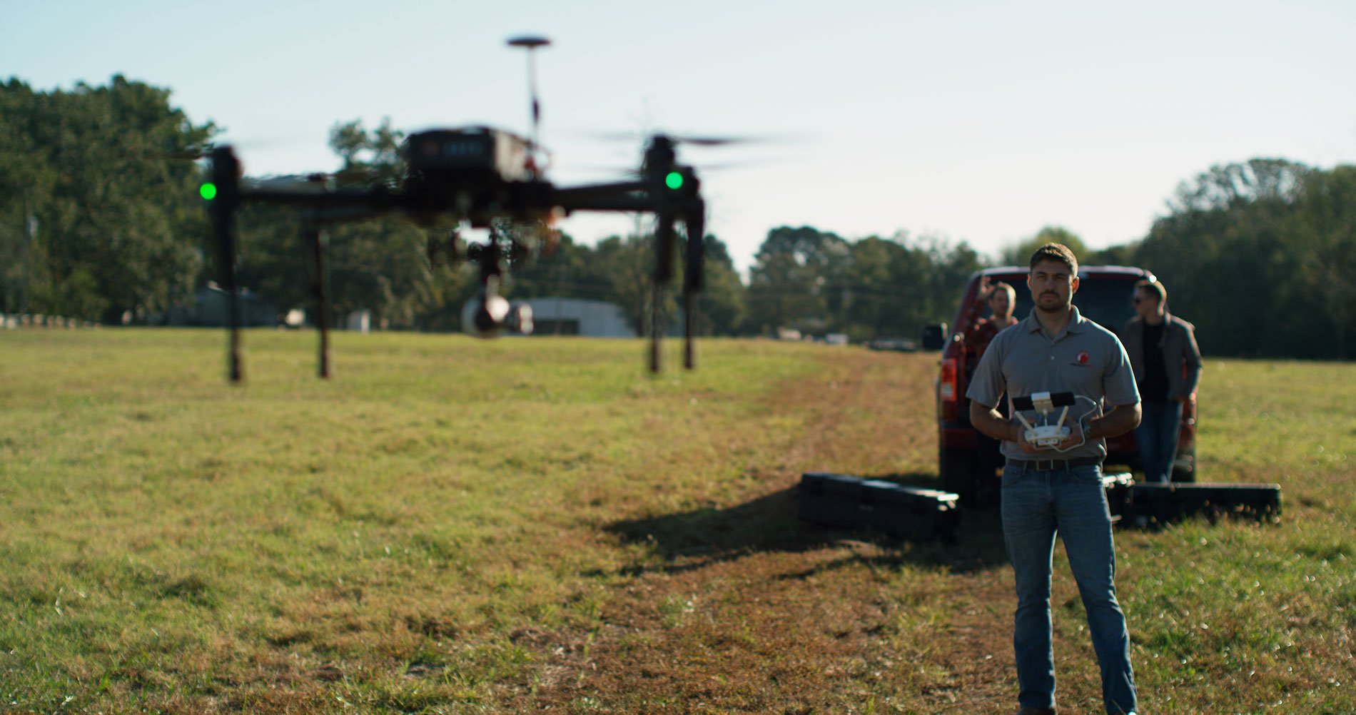
Drone-based inspections still require a team of pilots in the field. And in times of COVID, the fewer people in the field the better.
THE OPPORTUNITY
The geospatial data industry is working toward completely autonomous flight. This sounds like it should be pretty simple since we already have so much automation technology, but autonomous flight requires much more than that.
“Right now, according to the rules and regulations of the Federal Aviation Administration, even if the drone is automated you have to be able to take control of it, and you also have to keep it within visual line of sight,” says Dave Culler, Senior VP of Sales & Marketing at PrecisionHawk. “That way, you can see if you see an aircraft or something else in the flight path, and can take control and move the drone away from it.”
T&D World points out that some of the biggest technical limitations right now are around communication range, flight time for battery-powered systems, and autonomous "detect-and-avoid" navigation. However, the author adds that “it appears that the technology is mature and capable of handling many utility applications.”
As the technology advances—and as the FAA figures out how they want to integrate drones into the National Airspace—a drone will be able to fly out of its box, collect data down a distribution line for hundreds of miles, and then return and land in its box.
Download our ebook, Expert Insights: The Top Utility Trends of 2020 & 2021, to learn how you can take advantage of 2020 trends and 2021 predictions in data collection and GIS technology.