
PrecisionHawk for Co-ops


DISCOVER 
Define structure shot sheets and data delivery requirements. Determine the information you need to plan your field inspection and Comprehensive Visual Inspection projects.


COLLECT 
Capture visual imagery using high-resolution aerial cameras. Amplify the volume, detail, and accuracy of your geospatial asset data with visual, thermal, and LiDAR data and record inspection outcomes in a checklist.
PROCESS 
Quality Control data for any required data recollection and upload to servers. Our team of data analysts produces structural models using visual, thermal, or LiDAR data, delivering precise measures of asset height, depth, health, phasing of power cables, lean, and attachments.


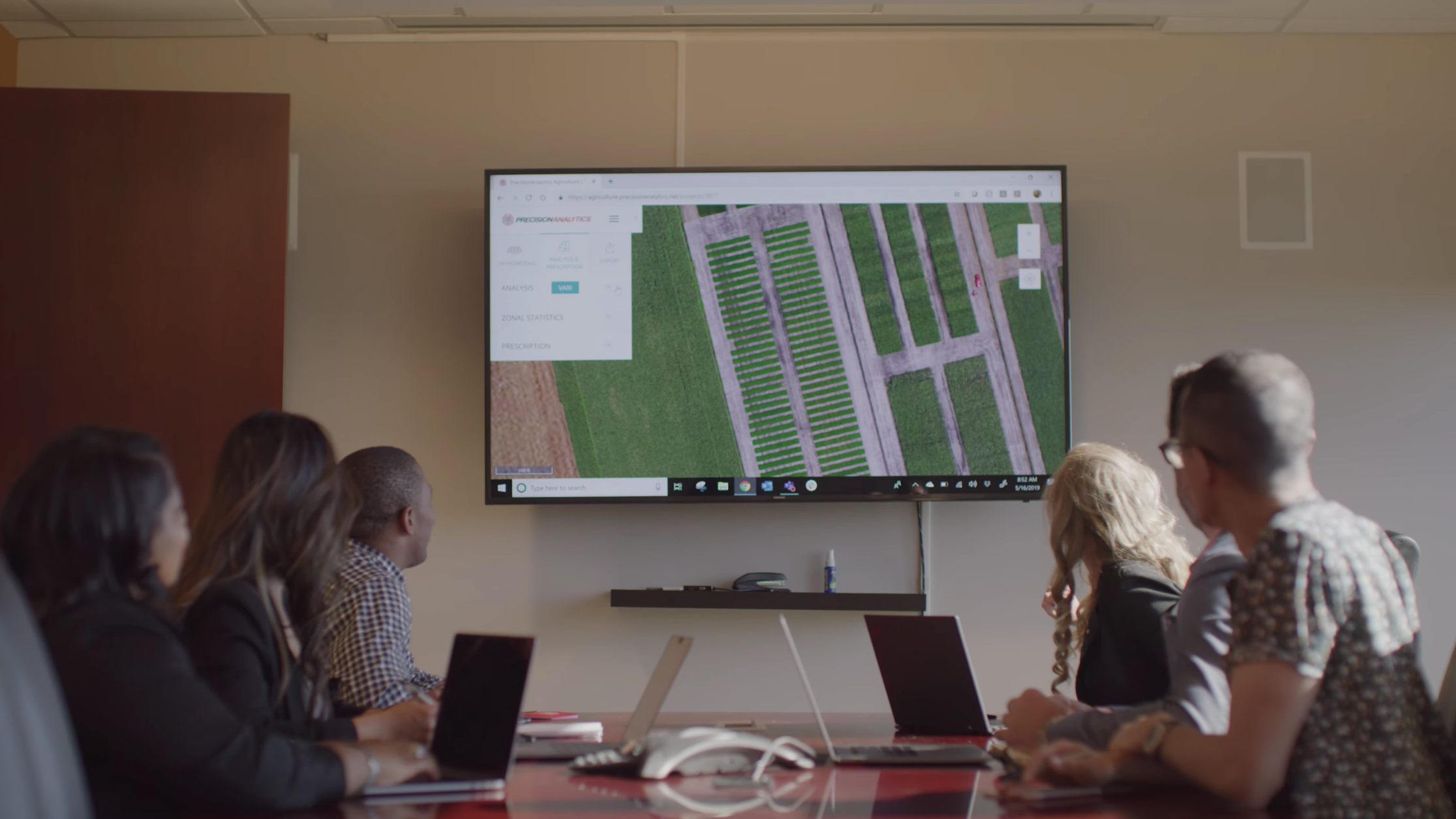
ANALYZE 
“Call in” criticals observed in the field and store data for additional analysis. PrecisionAnalytics organizes, georectifies, and annotates imagery to address issues specific to your project.
REPORT 
Generate analytics from aggregate inspection outcomes and identify trends. Assess vegetation encroachment, components, and asset health.

ACTION 
Distribute work orders with inspection imagery for context and activate O&M vendors.
- Refine capital budgets using a comprehensive accounting of your assets, including precise geolocation
- Detail work orders, with robust imagery to repair immediate issues
- Triage repairs by batching work orders depending on the severity of the problem, saving time and money
- Apply for permits and produce planometrics
- Fuel network engineering strategy, modeling out-of-compliance assets in relation to other assets, roadways, and zoning
- Prove regulatory compliance