04.3.2020
We are excited to expand our agricultural services by announcing a partnership with Pix4D Agriculture to enhance the in-field data collection, verification, and analytics experience.
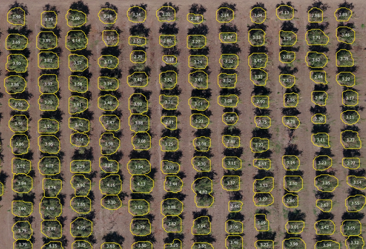
Pix4Dfields, Pix4D's specialized software for precision agriculture, will allow PrecisionHawk customers to acquire and react on agronomic information in the field in the minutes after the flight. With instant processing, growers have access to their drone maps directly in the field. Features such as after-flight reporting, vegetation indices and FMS-ready zonation maps, enable a novel way of managing fields, which can substantially improve plant protection and yield optimization.
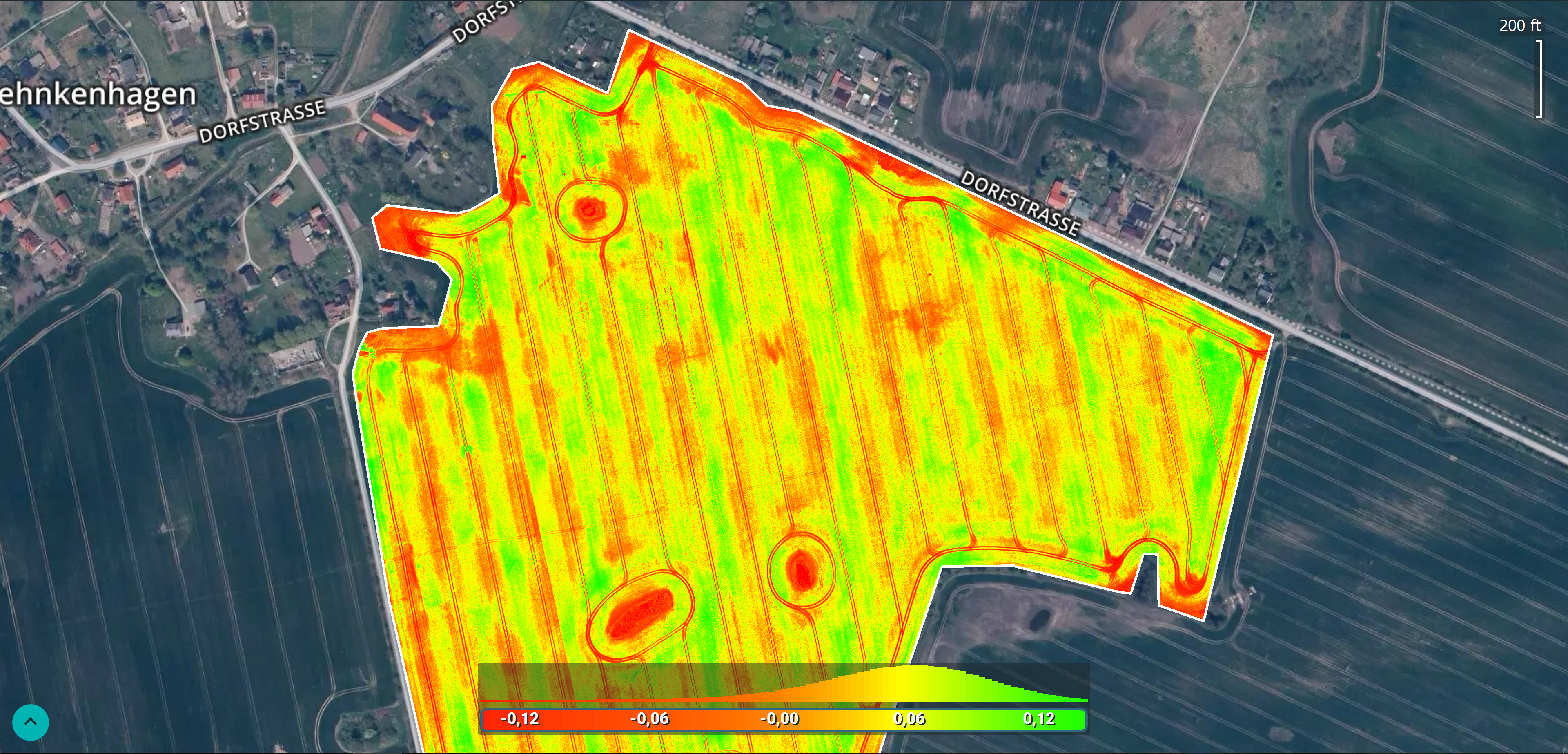
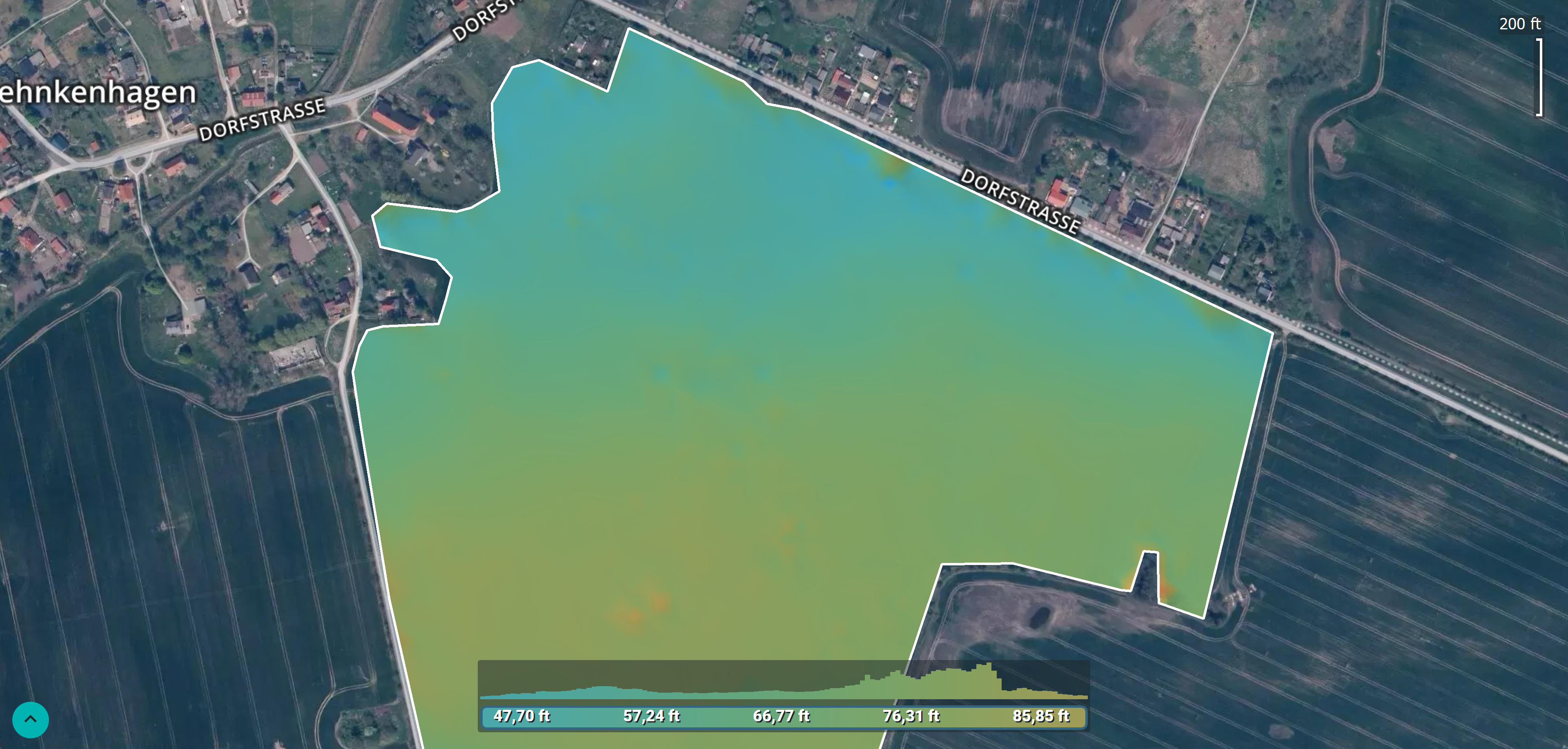
The partnership supports PrecisionHawk’s focus to provide best in class software for aerial mapping, modeling, analytics tools and artificial intelligence (A.I.). Pix4Dfields will supplement PrecisionAnalytics Agriculture, which launched in April. PrecisionAnalytics provides business leaders in agriculture with the latest generation of analytics tools and artificial intelligence (A.I.) for aerial data, thereby automating plant inventory, size, and health analysis to help professionals more efficiently, accurately, and safely assess their fieldwork.
“Pix4D’s powerful in-field processing capabilities and expertise coupled with PrecisionHawk’s ability to provide scalable data collection services and crop-specific algorithms creates considerable value for our customers,” said Kevin Lang, General Manager of Agriculture at PrecisionHawk.
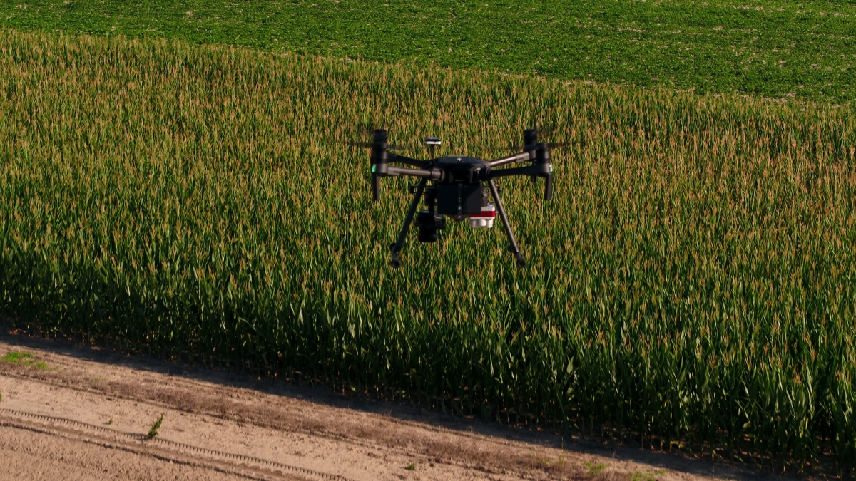
As the largest source of drone operators in the world, PrecisionHawk has 150-plus full-time drone pilots and more than 15,000 drone service providers in their drone pilot network. The company’s clients are using the expansive operator network to capture data over millions of acres of land.
“PrecisionHawk’s worldwide network of service providers and customers deliver aerial crop analysis to farmers and agribusiness throughout the season. We are excited to see Pix4Dfields bringing the benefits of this technology to the edge of the field immediately after their flight,” said Jorge Fernandez, Head of Product – Agriculture at Pix4D.
We’re committed to stewarding smarter, safer, and economic farming practices. Our agricultural experts will assist in evaluating when, where, and how to incorporate drone-based aerial intelligence, and tools like Pix4Dfields, into your operations. And our global network of drone operators is ready to execute flights on your behalf.
Contact an Agricultural Solutions expert today, and download our full solution brief for more details on how you can use drone-based aerial intelligence in agricultural operations.