For tracking changes on a site over time, traditional methods like satellites or manned aircraft can be costly and inefficient. Fortunately, drones have made it easier to regularly collect aerial imagery. But it takes time to manually develop a report that displays multiple surveys side-by-side.
With the new Progress Monitoring algorithm, creating a visual summary of multiple surveys requires just a few clicks: select up to five surveys and identify an area of interest in the first survey. Then, the algorithm will produce a PDF featuring:
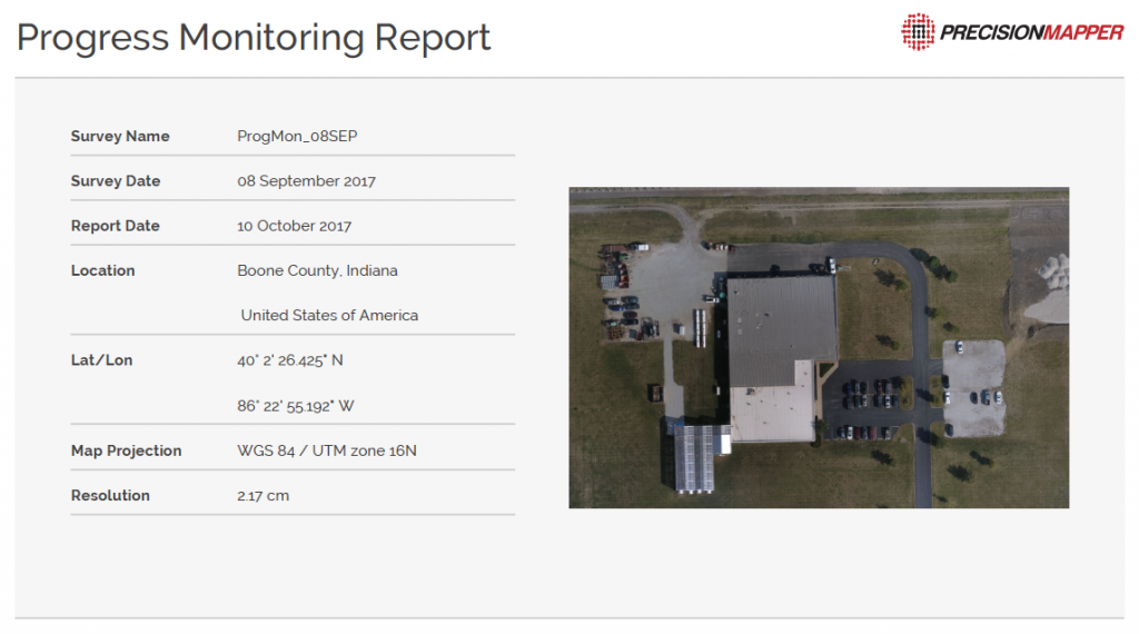
- Images of the site from North, South, East, and West compass directions
- Survey information, including date, location, latitude/longitude, map projection, resolution, and weather
The Progress Monitoring algorithm is helpful for:
- Builders monitoring progress on their construction sites
- Insurance adjusters accelerating the claims cycle—reducing the time required to assess changes in or damages to assets
- Energy professionals preventing “high risk, low probability” events by frequently inspecting infrastructure and equipment
- And more
“For clients who regularly capture aerial imagery of their job site, the Progress Monitoring algorithm will help them reclaim valuable time and keep their projects on schedule.” shares Jeff Freund, PrecisionHawk’s VP of Construction “And for those who haven’t started periodic drone-based surveys, this software serves as a catalyst for site supervisors and project managers to add aerial progress monitoring to their toolset.”
Try the Progress Monitoring algorithm today—log into your PrecisionMapper account.