08.16.2021
The following is an excerpt from Improving Hurricane Response with Drone-based Aerial Intelligence, a whitepaper that compares traditional disaster response methods with drone operations on the basis of cost, safety, data quality, and time-to-value. Download the whitepaper to learn how to incorporate drones into your hurricane response.
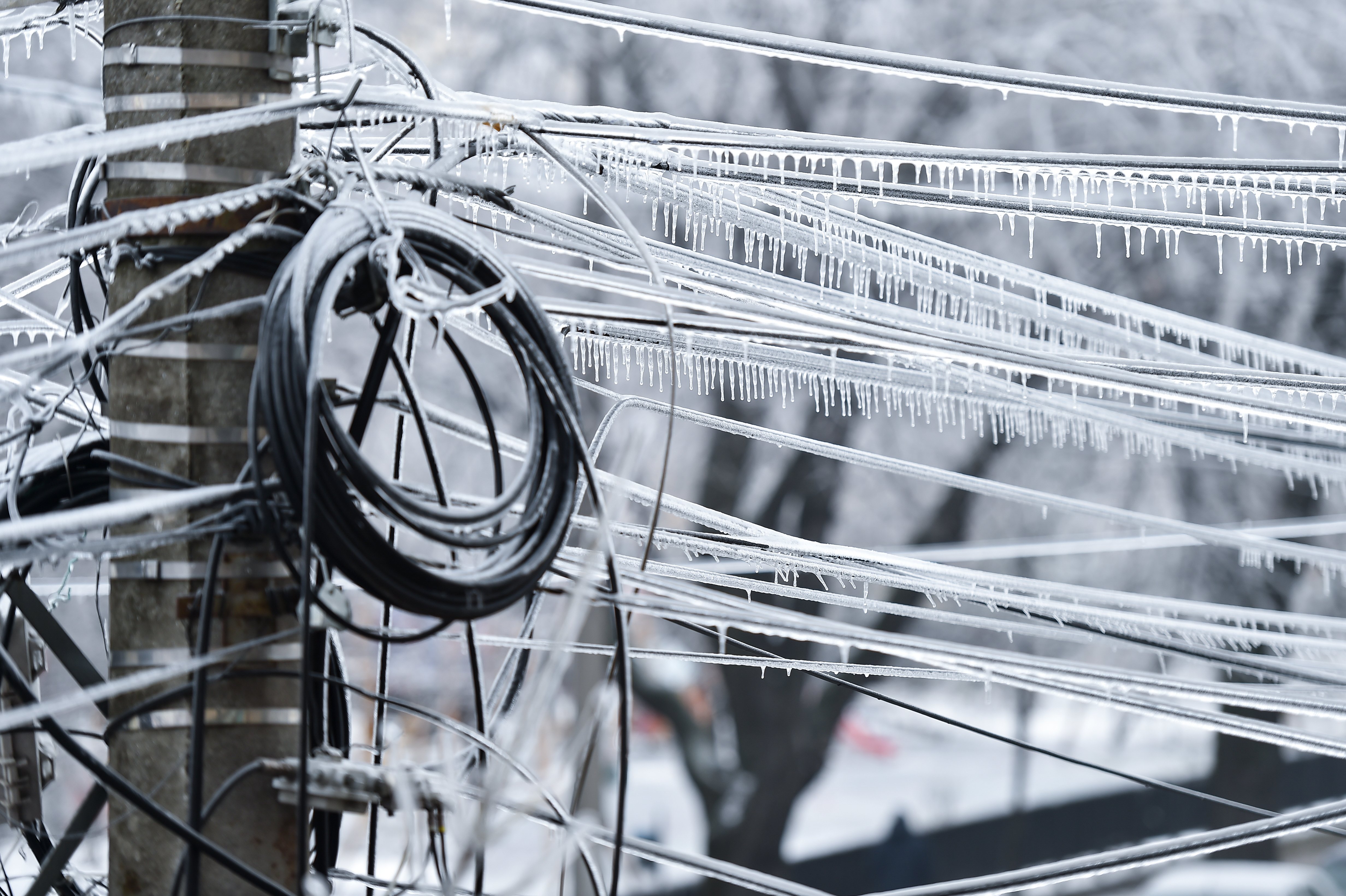
Extreme weather has been increasing in the U.S. over the last 50 years, including more heavy downpours and hurricanes. Four of the costliest hurricanes on record have occurred since 2012: hurricanes Sandy (2012), Harvey (2017), Maria (2017), and Irma (2017). Over the long term, the weather is forecasted to become even more volatile, according to climate experts.
Hurricanes impact power customers when they knock down electric poles and wires. For example, Hurricane Katrina, the most expensive natural disaster in recorded history, put 181 transmission lines and 263 substations out of service.
This is more than an inconvenience: Costs ramp up as customers have to replace spoiled food or buy generators—and power outages are dangerous because they can affect communications and medical equipment, and they put customers in hot areas of the country at risk when their air conditioning fails.
The Incumbent Method of Hurricane Response
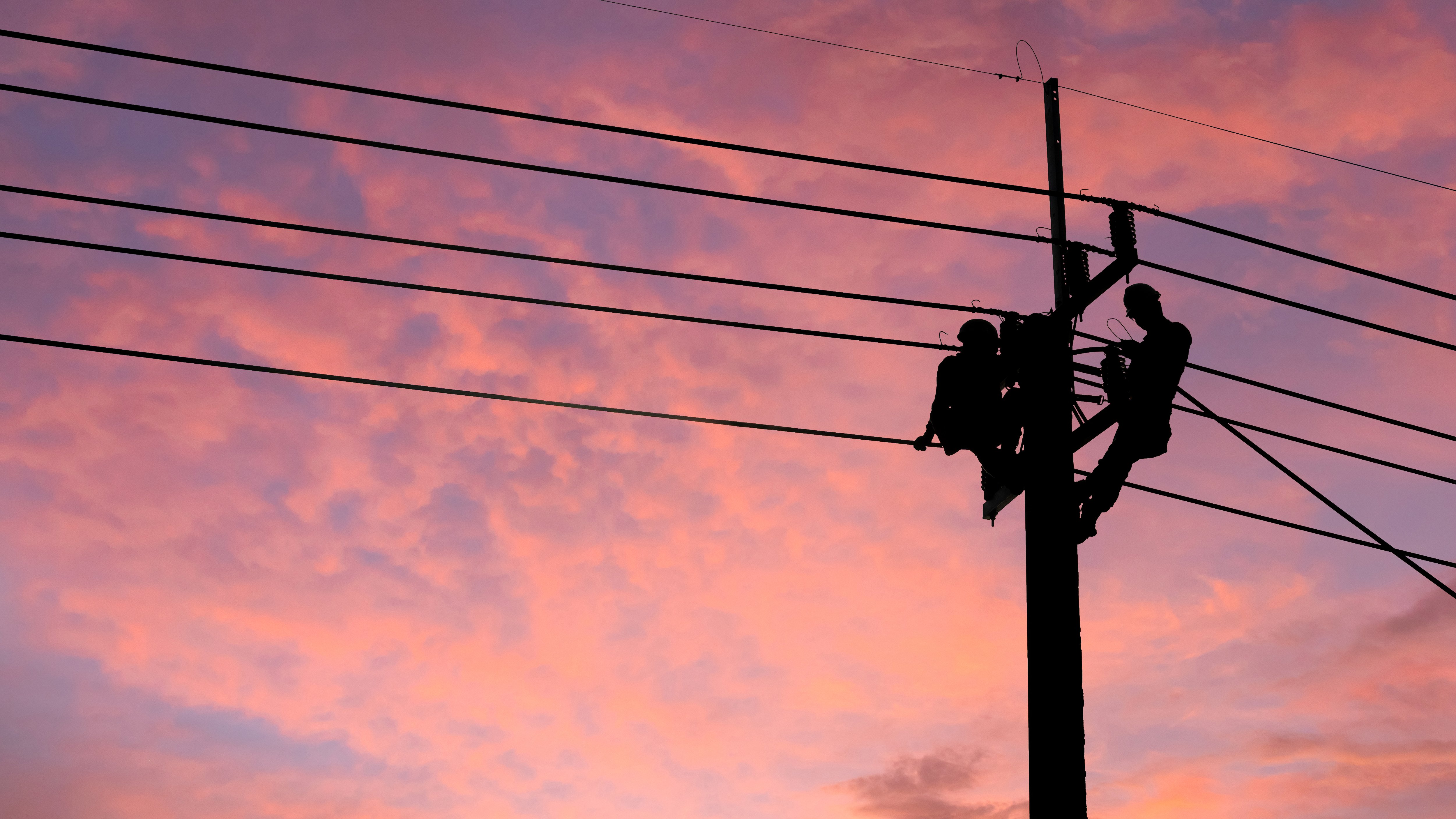
After a storm, utilities typically rely on helicopters and ground crews to assess damage. The problems: First, technicians might miss issues as they fly by at 40 miles per hour. Second, they often use paper checklists that they pass on to the operations center after the mission, delaying repairs. Finally, many utilities don’t have enough helicopters to conduct all the patrols needed after a hurricane.
Helicopter missions are dangerous, as well; a mission can be impacted by lingering bad weather or cloud cover, and pilots need to maneuver their helicopters without colliding with hard-to-see lines or transmission towers. Even though pilots on post-hurricane missions encounter challenges that the typical helicopter pilot doesn’t face, the Federal Aviation Administration doesn’t require a special examination for pilots who fly helicopters for utilities inspections. Fatalities are not uncommon in helicopter-enabled inspections, and wire strike safeguard devices provide only limited protection.
In addition, ground crews often have trouble accessing the areas they need to inspect due to downed trees and impassable roads, and face dangerous conditions like swampy areas and downed electric lines.
Strengthening Hurricane Response with Drone-based Aerial Intelligence
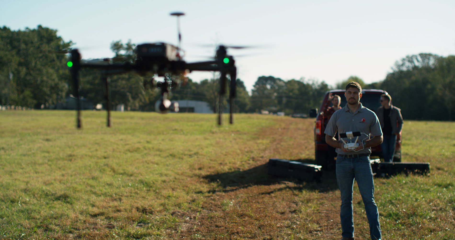
To overcome the challenges associated with traditional hurricane response methods, PrecisionHawk provides a drone-based solution that includes data collection, analysis, and reporting in a fast, streamlined solution.
The result:
- Shorter downtimes for power customers
- Fewer expensive, dangerous helicopter missions
- Faster fixes to issues
- Higher margin of safety
In sum, utilities get faster resolutions and higher customer satisfaction rates—not to mention safer conditions for their staff and customers alike.
PrecisionHawk’s Data Value Chain
The hurricane response process is a value chain, where each professional, procedure, and tool should speed response and add value to the final outcome. PrecisionHawk’s hurricane response data value chain, which you’ll see at work in the upcoming case study, is this:
- Collect
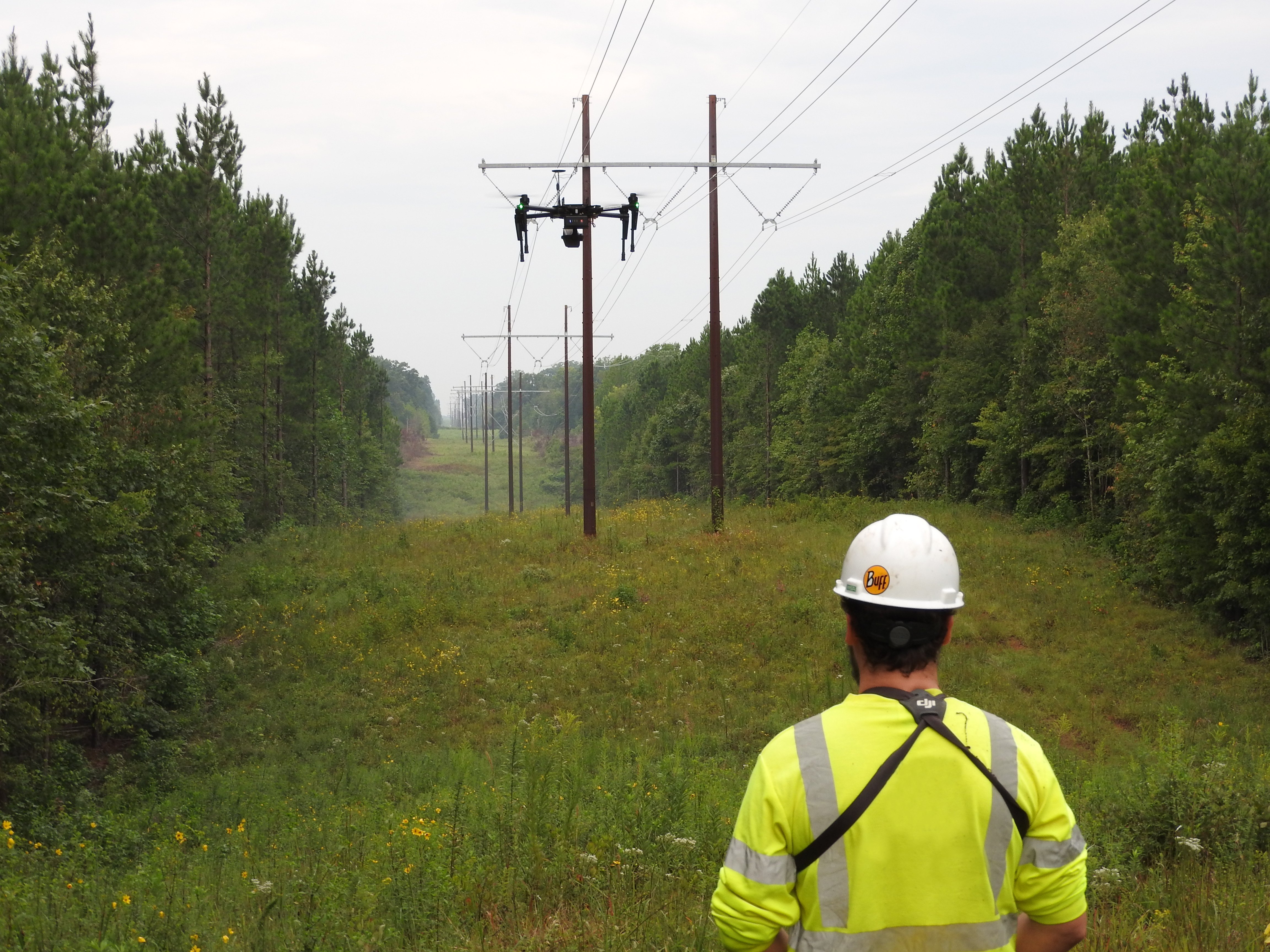
Getting actionable data starts with collecting accurate information on damaged assets, which is why it’s critical to take the right approach to flying drones. PrecisionHawk offers a data collection platform of hardware, software, and flight services that are tailored to the requirements of hurricane response. - Analyze
Due to the emergency nature of these inspections, teams of pilots and linemen make assessments right in the field using live video feeds from their drones. - Report
Teams can immediately share images and video with the utility’s operations center so the utility can deploy repair crews as needed. - Take Action
Repair crews quickly deploy to handle the most critical issues. Due to the detailed collection, analysis, and reporting of data on the damaged assets and the surrounding environment, the crews know what equipment to bring and can find the safest routes to the areas of concern.
Thanks to this data value chain, PrecisionHawk’s drone-based solution is purpose-built for the entire hurricane response data lifecycle. By partnering with PrecisionHawk, utilities can improve every step of their hurricane response, from collecting data to deploying repair crews.
Read our Whitepaper “Improving Hurricane Response with Drone-Based Aerial Intelligence” to learn more.