Flight Servicing

Hire our professional grade flight servicing team

Get a Quote

We handle it so you don't have to

services-group
  • Flight team includes a pilot and visual observer
  • Insurance
  • All regulatory filings
  • All state taxes and filings
  • UAVs and sensors
  • 2D & 3D ortho-mosaic processing of the service jobs
  • Data quality checks
  • Data delivered through PrecisionMapper
  • One membership to TerraServer Satellite data system ($250 value)
  • Travel costs
  • One rescheduled rain date included by PrecisionHawk

THE ALTERNATIVE TO DOING IT YOURSELF

Equipment costs, software, taxes, insurance, and personnel can be financially challenging when collecting and analyzing aerial data. With this in mind, we offer flight servicing as the cost effective alternative.

We take an expert approach to data collection, management, and analysis, and our teams are always efficient, professional and timely.

drone-dji-m210
PF-Pro-screenshot-3

THE RIGHT TOOLS AND TECHNOLOGY

We have short and long range fixed wing aircraft, multirotors and even access to manned aircraft. We bring the right tools to get your job done right.

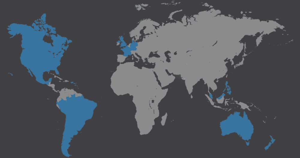
Industry experience and global service reach

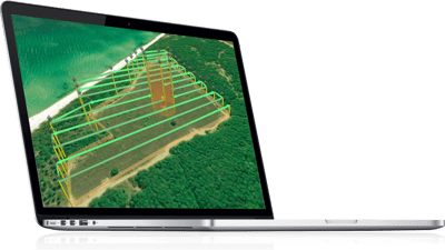
PrecisionHawk's flight service extends to variety of industries and locations around the globe. Our teams have flown missions along cliffs, water courses, ecological preserves, highways, mining pits, development sites, disaster areas, crops, farms and more.

Agriculture
Energy & Mining
Insurance & Emergency Response
Environmental Monitoring
map
Flight Service Coverage
Subscribe to our newsletter: